

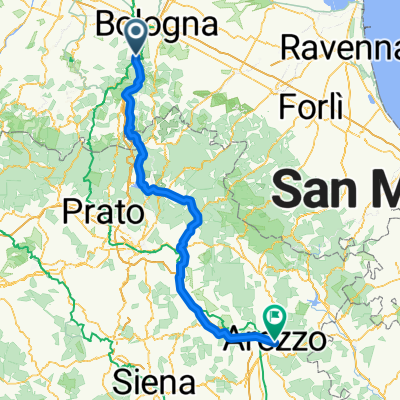
Sasso – Badolo – Pian di Macina – Brento – Badolo – Bivio Piene del Pino – Sasso
A cycling route starting in Sasso Marconi, Emilia-Romagna, Italy.
Overview
About this route
The route between Brento and Badolo is not a road, but a continuous pothole. Any gravel path is better.
- -:--
- Duration
- 49.1 km
- Distance
- 844 m
- Ascent
- 844 m
- Descent
- ---
- Avg. speed
- ---
- Max. altitude
Route quality
Waytypes & surfaces along the route
Waytypes
Road
9.8 km
(20 %)
Quiet road
1.5 km
(3 %)
Undefined
37.8 km
(77 %)
Surfaces
Paved
43.2 km
(88 %)
Asphalt
43.2 km
(88 %)
Undefined
5.9 km
(12 %)
Continue with Bikemap
Use, edit, or download this cycling route
You would like to ride Sasso – Badolo – Pian di Macina – Brento – Badolo – Bivio Piene del Pino – Sasso or customize it for your own trip? Here is what you can do with this Bikemap route:
Free features
- Save this route as favorite or in collections
- Copy & plan your own version of this route
- Sync your route with Garmin or Wahoo
Premium features
Free trial for 3 days, or one-time payment. More about Bikemap Premium.
- Navigate this route on iOS & Android
- Export a GPX / KML file of this route
- Create your custom printout (try it for free)
- Download this route for offline navigation
Discover more Premium features.
Get Bikemap PremiumFrom our community
Other popular routes starting in Sasso Marconi
 DH Badolo
- Distance
- 17.8 km
- Ascent
- 477 m
- Descent
- 474 m
- Location
- Sasso Marconi, Emilia-Romagna, Italy
 anello fosso del diavolo
- Distance
- 6.4 km
- Ascent
- 315 m
- Descent
- 318 m
- Location
- Sasso Marconi, Emilia-Romagna, Italy
 Italia NS - 03 Sasso Marconi - Arezzo
- Distance
- 176.1 km
- Ascent
- 1,116 m
- Descent
- 982 m
- Location
- Sasso Marconi, Emilia-Romagna, Italy
 Badolo e Monte Alto
- Distance
- 11.1 km
- Ascent
- 457 m
- Descent
- 395 m
- Location
- Sasso Marconi, Emilia-Romagna, Italy
 prati di magnano, palazzo de rossi,san luca,centro
- Distance
- 19.1 km
- Ascent
- 241 m
- Descent
- 433 m
- Location
- Sasso Marconi, Emilia-Romagna, Italy
 Monte mario Sasso Marconi (Bo)
- Distance
- 25.3 km
- Ascent
- 644 m
- Descent
- 644 m
- Location
- Sasso Marconi, Emilia-Romagna, Italy
 Anello Monte Mario; Monte dei Frati; Fosso Raibano
- Distance
- 26.9 km
- Ascent
- 783 m
- Descent
- 783 m
- Location
- Sasso Marconi, Emilia-Romagna, Italy
 Poggio delle Oche
- Distance
- 6.9 km
- Ascent
- 382 m
- Descent
- 107 m
- Location
- Sasso Marconi, Emilia-Romagna, Italy
Open it in the app