
16_alt
A cycling route starting in Leadville, Colorado, United States.
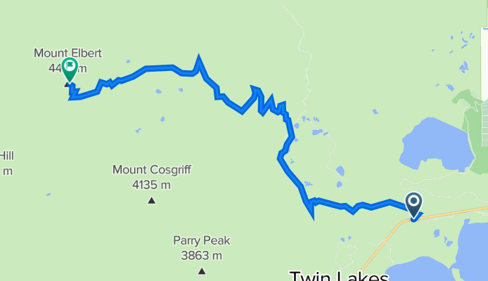
Overview
About this route
- -:--
- Duration
- 12.1 km
- Distance
- 1,544 m
- Ascent
- 7 m
- Descent
- ---
- Avg. speed
- ---
- Max. altitude

Continue with Bikemap
Use, edit, or download this cycling route
You would like to ride 16_alt or customize it for your own trip? Here is what you can do with this Bikemap route:
Free features
- Save this route as favorite or in collections
- Copy & plan your own version of this route
- Sync your route with Garmin or Wahoo
Premium features
Free trial for 3 days, or one-time payment. More about Bikemap Premium.
- Navigate this route on iOS & Android
- Export a GPX / KML file of this route
- Create your custom printout (try it for free)
- Download this route for offline navigation
Discover more Premium features.
Get Bikemap PremiumFrom our community
Other popular routes starting in Leadville
 Independence Pass ride
- Distance
- 72.6 km
- Ascent
- 960 m
- Descent
- 966 m
- Location
- Leadville, Colorado, United States
 Seg 16a
- Distance
- 89.6 km
- Ascent
- 980 m
- Descent
- 1,664 m
- Location
- Leadville, Colorado, United States
 Leadville, CO - Mt. Linocoln, CO
- Distance
- 148.6 km
- Ascent
- 1,935 m
- Descent
- 1,004 m
- Location
- Leadville, Colorado, United States
 Leadville - Minturn
- Distance
- 49.1 km
- Ascent
- 354 m
- Descent
- 1,026 m
- Location
- Leadville, Colorado, United States
 ToC Day7: Twin Lakes - Leadville - East Tennessee Trail
- Distance
- 51.6 km
- Ascent
- 591 m
- Descent
- 342 m
- Location
- Leadville, Colorado, United States
 2008 Leadville 100 MTB Course
- Distance
- 160 km
- Ascent
- 2,744 m
- Descent
- 2,787 m
- Location
- Leadville, Colorado, United States
 Seg16
Seg16- Distance
- 101.5 km
- Ascent
- 2,303 m
- Descent
- 3,381 m
- Location
- Leadville, Colorado, United States
 Twin Lakes - Independence Pass Out and Back
- Distance
- 69.6 km
- Ascent
- 940 m
- Descent
- 940 m
- Location
- Leadville, Colorado, United States
Open it in the app