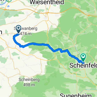
Reupelsdorf - Rödelsee
- 12.2 km
- 49 m
- 71 m
- Rödelsee, Bavaria, Germany
A cycling route starting in Rödelsee, Bavaria, Germany.
Overview
Hiking Trail 'Steigerwald Nature Park, Blue Triangle (Rödelsee-Weingartsgreuth)'
Route: Main route
Surface:
Asphalted 34%, unpaved 66%
Traffic volume:
created this 5 years ago
Continue with Bikemap
You would like to ride Wanderweg: Naturpark Steigerwald, Blaues Dreieck (Rödelsee-Weingartsgreuth) or customize it for your own trip? Here is what you can do with this Bikemap route:
Free trial for 3 days, or one-time payment. More about Bikemap Premium.
Discover more Premium features.
Get Bikemap PremiumFrom our community
Open it in the app