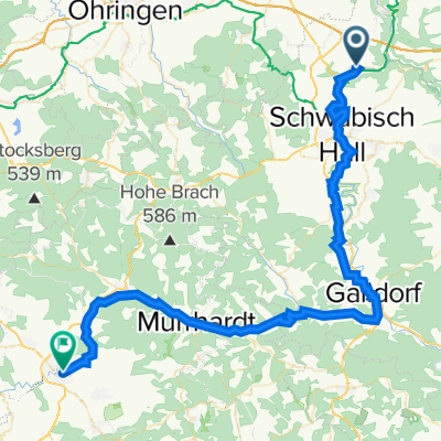
Im Bühl nach Im Bühl
- 90.3 km
- 1,622 m
- 1,622 m
- Untermünkheim, Baden-Wurttemberg, Germany
A cycling route starting in Untermünkheim, Baden-Wurttemberg, Germany.
Overview
created this 17 years ago
Route quality
Track
34 km
(46 %)
Quiet road
21.4 km
(29 %)
Paved
63.5 km
(86 %)
Unpaved
3 km
(4 %)
Asphalt
59.1 km
(80 %)
Concrete
3 km
(4 %)
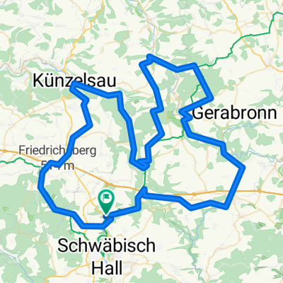
Route highlights

Kocher Autobahnbrücke

was es nicht alles gibt
Continue with Bikemap
You would like to ride Kochertal Aalen - Schwäbisch Hall - Bad Friedrichsau Tag 2 or customize it for your own trip? Here is what you can do with this Bikemap route:
Free trial for 3 days, or one-time payment. More about Bikemap Premium.
Discover more Premium features.
Get Bikemap PremiumFrom our community
Open it in the app