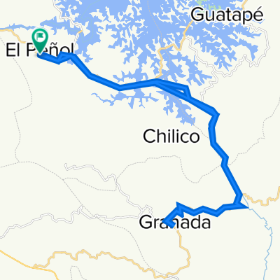
De Calle 28, Granada a Calle 28, Granada
A cycling route starting in GuatapƩ, Antioquia, Colombia.
Overview
About this route
- 1 h 18 min
- Duration
- 28.5 km
- Distance
- 709 m
- Ascent
- 691 m
- Descent
- 21.9 km/h
- Avg. speed
- ---
- Max. altitude
Continue with Bikemap
Use, edit, or download this cycling route
You would like to ride De Calle 28, Granada a Calle 28, Granada or customize it for your own trip? Here is what you can do with this Bikemap route:
Free features
- Save this route as favorite or in collections
- Copy & plan your own version of this route
- Sync your route with Garmin or Wahoo
Premium features
Free trial for 3 days, or one-time payment. More about Bikemap Premium.
- Navigate this route on iOS & Android
- Export a GPX / KML file of this route
- Create your custom printout (try it for free)
- Download this route for offline navigation
Discover more Premium features.
Get Bikemap PremiumFrom our community
Other popular routes starting in GuatapƩ
- De Calle 8 1413, PeƱol a Transversal 6 22a20, PeƱol
- Distance
- 13.5 km
- Ascent
- 892 m
- Descent
- 898 m
- Location
- GuatapƩ, Antioquia, Colombia
- quebrada arriba, PeƱa, sonadora, piedra Ruta constante en Colombia
- Distance
- 19.6 km
- Ascent
- 593 m
- Descent
- 603 m
- Location
- GuatapƩ, Antioquia, Colombia
- Granada
- Distance
- 47 km
- Ascent
- 1,476 m
- Descent
- 1,818 m
- Location
- GuatapƩ, Antioquia, Colombia
- GuatapƩ Festival de Rutas
- Distance
- 48.4 km
- Ascent
- 1,320 m
- Descent
- 1,318 m
- Location
- GuatapƩ, Antioquia, Colombia
- GuatapƩ Circuit
- Distance
- 33.5 km
- Ascent
- 1,009 m
- Descent
- 1,007 m
- Location
- GuatapƩ, Antioquia, Colombia
- El Penol
- Distance
- 19.6 km
- Ascent
- 404 m
- Descent
- 501 m
- Location
- GuatapƩ, Antioquia, Colombia
- KAYAK GUATAPE
- Distance
- 31.6 km
- Ascent
- 51 m
- Descent
- 55 m
- Location
- GuatapƩ, Antioquia, Colombia
- Ruta a Acceso Salidas, Rionegro
- Distance
- 33.4 km
- Ascent
- 990 m
- Descent
- 778 m
- Location
- GuatapƩ, Antioquia, Colombia
Open it in the app