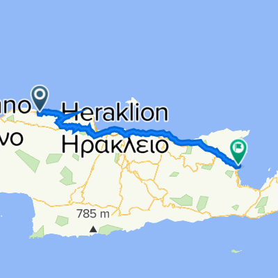
K_13
A cycling route starting in Pérama, Crete, Greece.
Overview
About this route
- -:--
- Duration
- 51.4 km
- Distance
- 487 m
- Ascent
- 468 m
- Descent
- ---
- Avg. speed
- ---
- Max. altitude
Route highlights
Points of interest along the route
Point of interest after 49.6 km
flek u cesty, u řeky
Continue with Bikemap
Use, edit, or download this cycling route
You would like to ride K_13 or customize it for your own trip? Here is what you can do with this Bikemap route:
Free features
- Save this route as favorite or in collections
- Copy & plan your own version of this route
- Sync your route with Garmin or Wahoo
Premium features
Free trial for 3 days, or one-time payment. More about Bikemap Premium.
- Navigate this route on iOS & Android
- Export a GPX / KML file of this route
- Create your custom printout (try it for free)
- Download this route for offline navigation
Discover more Premium features.
Get Bikemap PremiumFrom our community
Other popular routes starting in Pérama
 margarites to apostili
- Distance
- 26 km
- Ascent
- 686 m
- Descent
- 494 m
- Location
- Pérama, Crete, Greece
 K_13
K_13- Distance
- 51.4 km
- Ascent
- 487 m
- Descent
- 468 m
- Location
- Pérama, Crete, Greece
 Stage II: Balion to Ilia Sotirchou 30, Agios Nikolaos
- Distance
- 117.3 km
- Ascent
- 2,398 m
- Descent
- 2,418 m
- Location
- Pérama, Crete, Greece
 Kreta76
- Distance
- 81.2 km
- Ascent
- 1,175 m
- Descent
- 1,174 m
- Location
- Pérama, Crete, Greece
 5.Perama - Psiloritis (crono)
- Distance
- 30.5 km
- Ascent
- 1,548 m
- Descent
- 61 m
- Location
- Pérama, Crete, Greece
 2013.7.15 Iraklio
- Distance
- 64.2 km
- Ascent
- 739 m
- Descent
- 655 m
- Location
- Pérama, Crete, Greece
 Aclades - Migero
- Distance
- 70.1 km
- Ascent
- 1,934 m
- Descent
- 1,932 m
- Location
- Pérama, Crete, Greece
 Berg vor Melidoni UZSinn
- Distance
- 31.8 km
- Ascent
- 547 m
- Descent
- 553 m
- Location
- Pérama, Crete, Greece
Open it in the app

