

2020-09-09 Route
A cycling route starting in As, Flemish Region, Belgium.
Overview
About this route
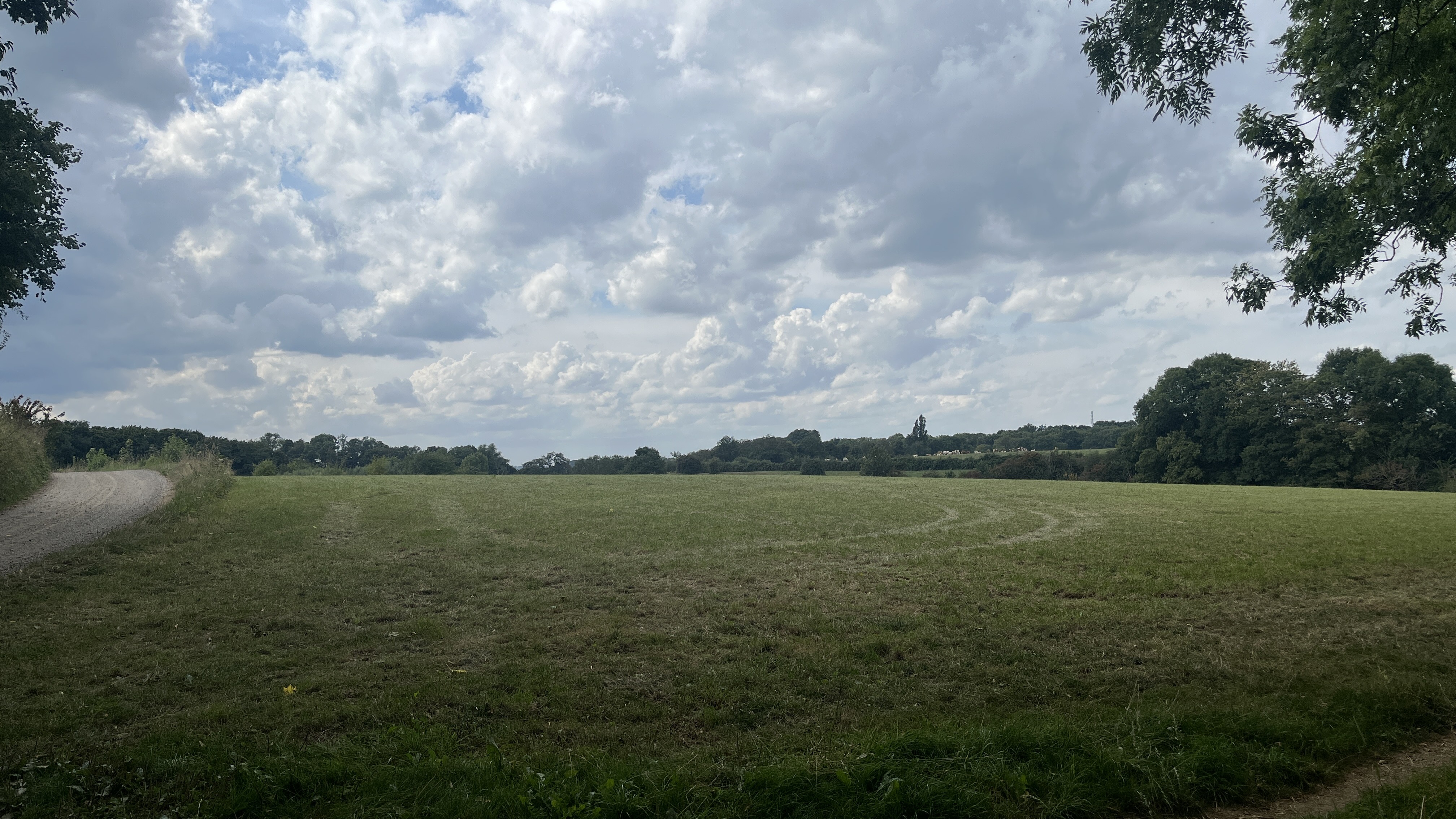
Deze fietslus biedt je indrukwekkende vergezichten over het Nationaal Park Hoge Kempen en RivierPark Maasvallei. Je passeert Connecterra met het mooiste panorama en voormalige mijnterrein Eisden, de Mechelse Heide en Station As met hoge uitkijktoren. Over het oude kolenspoor fiets je naar de Maasvallei. Daar volgt je de meanderende Maas en enkele oude Maasarmen doorheen charmante dorpjes en opgerepte natuur.
- -:--
- Duration
- 53.3 km
- Distance
- 183 m
- Ascent
- 182 m
- Descent
- ---
- Avg. speed
- ---
- Max. altitude
Route quality
Waytypes & surfaces along the route
Waytypes
Cycleway
25 km
(47 %)
Access road
11.7 km
(22 %)
Surfaces
Paved
37.6 km
(71 %)
Unpaved
0.7 km
(1 %)
Asphalt
21 km
(39 %)
Concrete
13.6 km
(26 %)
Continue with Bikemap
Use, edit, or download this cycling route
You would like to ride 2020-09-09 Route or customize it for your own trip? Here is what you can do with this Bikemap route:
Free features
- Save this route as favorite or in collections
- Copy & plan your own version of this route
- Sync your route with Garmin or Wahoo
Premium features
Free trial for 3 days, or one-time payment. More about Bikemap Premium.
- Navigate this route on iOS & Android
- Export a GPX / KML file of this route
- Create your custom printout (try it for free)
- Download this route for offline navigation
Discover more Premium features.
Get Bikemap PremiumFrom our community
Other popular routes starting in As
 DiStGroen
- Distance
- 14.7 km
- Ascent
- 115 m
- Descent
- 112 m
- Location
- As, Flemish Region, Belgium
 Opglabbekerzavel, Genk naar Opglabbekerzavel, Genk
- Distance
- 12 km
- Ascent
- 6 m
- Descent
- 6 m
- Location
- As, Flemish Region, Belgium
 B/B As - Maaseik VV Kolenspoor
- Distance
- 16.3 km
- Ascent
- 49 m
- Descent
- 100 m
- Location
- As, Flemish Region, Belgium
 Niel-bij-As / Maasmechelen
- Distance
- 57.5 km
- Ascent
- 117 m
- Descent
- 122 m
- Location
- As, Flemish Region, Belgium
 route Anouk Deel 2
- Distance
- 16.7 km
- Ascent
- 22 m
- Descent
- 74 m
- Location
- As, Flemish Region, Belgium
 Niel-bij-As / Hechtel, Houthalen-oost
- Distance
- 57.6 km
- Ascent
- 118 m
- Descent
- 114 m
- Location
- As, Flemish Region, Belgium
 Kanne - Tongeren
- Distance
- 83.6 km
- Ascent
- 221 m
- Descent
- 221 m
- Location
- As, Flemish Region, Belgium
 20_As_Deel_1
- Distance
- 74.8 km
- Ascent
- 624 m
- Descent
- 625 m
- Location
- As, Flemish Region, Belgium
Open it in the app