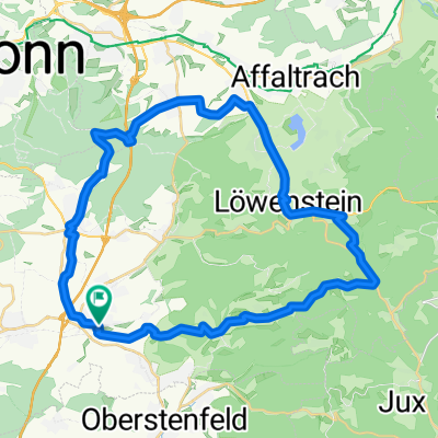
BS_Wildeck-Söhlbach-Wartkopf-Wunnenstein-Auenstein-23km-600hm
- 23.3 km
- 503 m
- 529 m
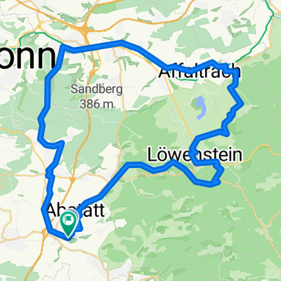
- Abstatt, Baden-Wurttemberg, Germany
A cycling route starting in Abstatt, Baden-Wurttemberg, Germany.
Overview
Auenstein - Beilstein - Oberstenfeld - parking lot at Kneipbecken - Birktrail - Krugeichtrail - Gronautrail - Wartkopf - Söhlbach - Helfenberg - Auenstein
created this 5 years ago
Route quality
Track
12.6 km
(48 %)
Path
4.5 km
(17 %)
Paved
17.1 km
(65 %)
Unpaved
8.9 km
(34 %)
Asphalt
15 km
(57 %)
Gravel
5.3 km
(20 %)
Continue with Bikemap
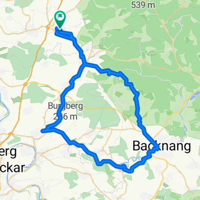
You would like to ride BS_Gronau_lang_alternativ_Birk_Krugeich_Gronau_Wartkopf_Söhlbach_26km_570hm or customize it for your own trip? Here is what you can do with this Bikemap route:
Free trial for 3 days, or one-time payment. More about Bikemap Premium.
Discover more Premium features.
Get Bikemap PremiumFrom our community
Open it in the app