transbo-commerce avec Denis
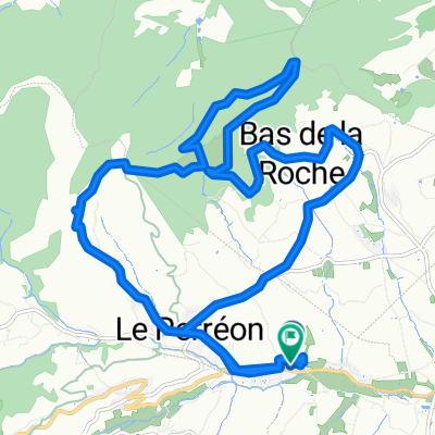
- 27.1 km
- 583 m
- 557 m
- Le Perréon, Auvergne-Rhône-Alpes, France
A cycling route starting in Le Perréon, Auvergne-Rhône-Alpes, France.
Overview
created this 5 years ago
Route quality
Quiet road
158.6 km
38 %
Cycleway
116.8 km
28 %
Paved
254.6 km
(61 %)
Unpaved
12.5 km
(3 %)
Asphalt
250.4 km
60 %
Gravel
8.3 km
2 %
Continue with Bikemap
You would like to ride De D133, Le Perréon à Place de la Major, Marseille or customize it for your own trip? Here is what you can do with this Bikemap route:
Free trial for 3 days, or one-time payment. More about Bikemap Premium.
Discover more Premium features.
Get Bikemap PremiumFrom our community
Open it in the app