Cambuslang to Eaglesham
A cycling route starting in Rutherglen, Scotland, United Kingdom.
Overview
About this route
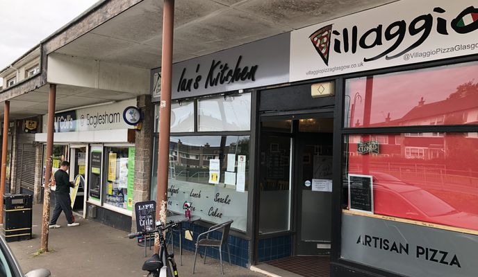
Nice , low traffic route from Cambuslang Park to Eaglesham. Stop off at Ian's Kitchen for some coffee and return the same way
- 1 h 23 min
- Duration
- 17 km
- Distance
- 260 m
- Ascent
- 182 m
- Descent
- 12.3 km/h
- Avg. speed
- ---
- Avg. speed
Route photos
Route quality
Waytypes & surfaces along the route
Waytypes
Quiet road
11.6 km
(68 %)
Cycleway
1.2 km
(7 %)
Surfaces
Paved
2.1 km
(12 %)
Paved (undefined)
1.7 km
(10 %)
Asphalt
0.4 km
(2 %)
Undefined
14.9 km
(88 %)
Route highlights
Points of interest along the route

Photo after 0.9 km
Head up Turnlaw Road. Its a paved Farmtrack
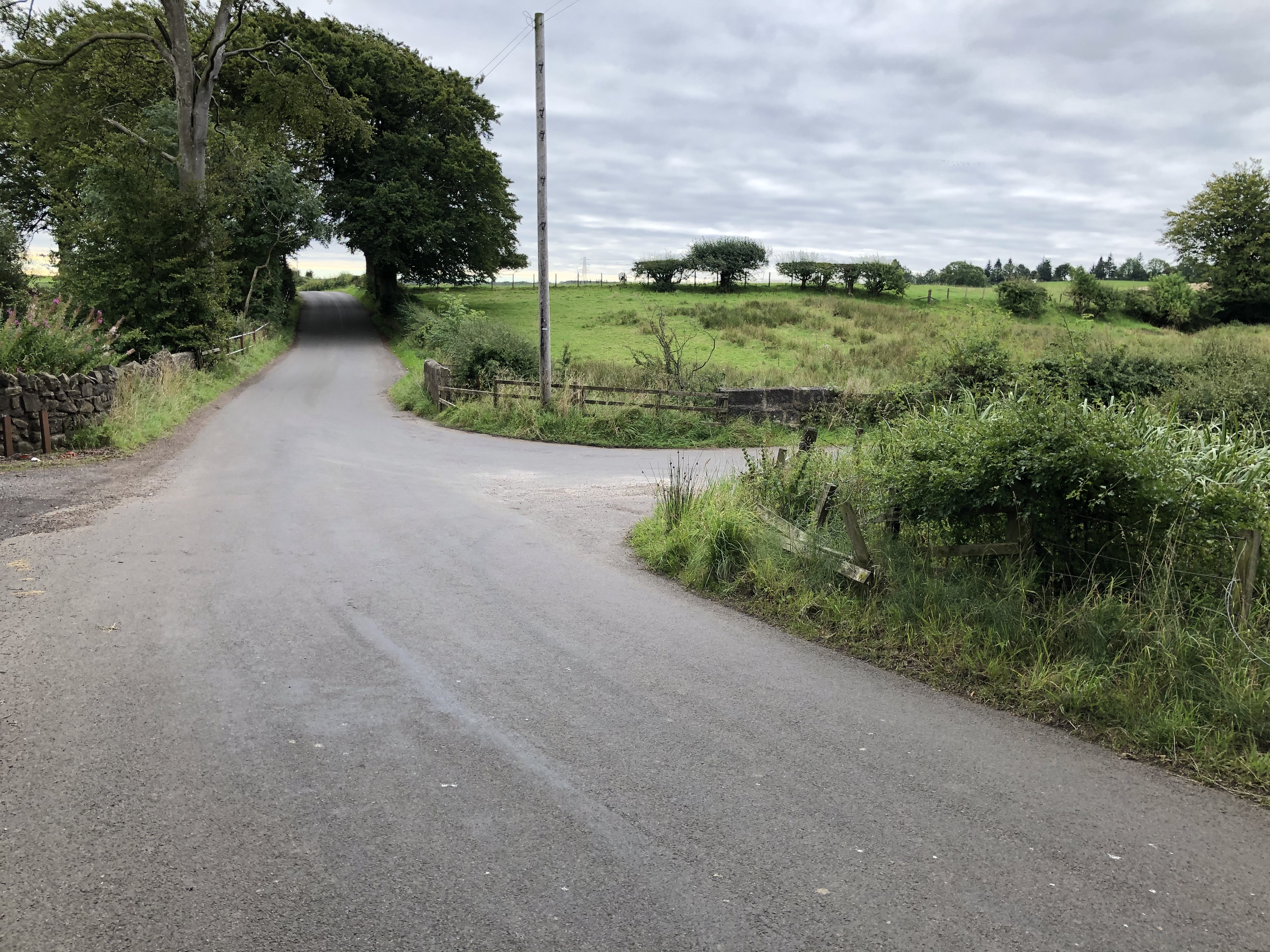
Photo after 3.1 km
Turn right into Crookedshields Road to Nerston
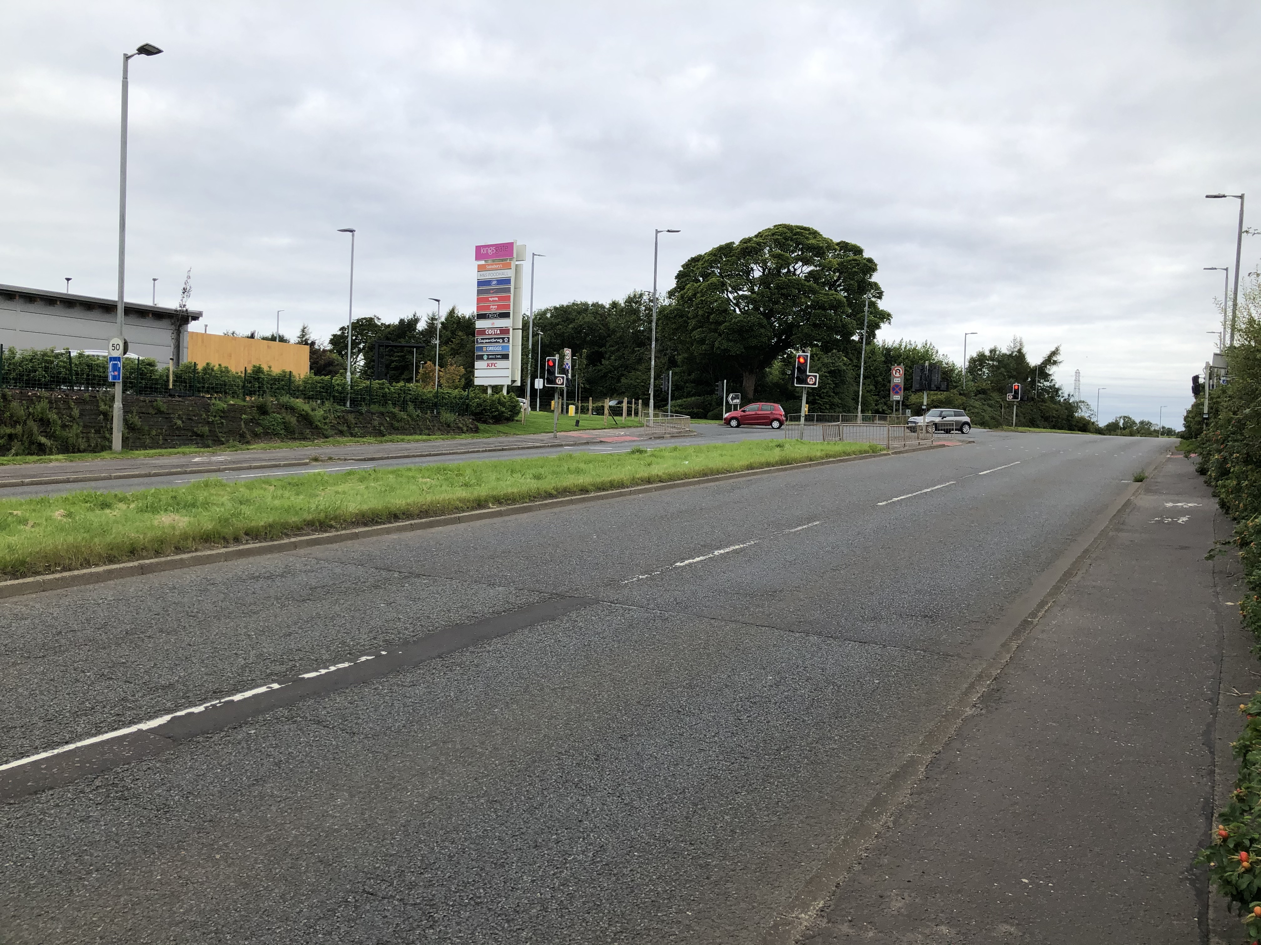
Photo after 4.5 km
Cross the Main Road at the pedestrian crossing at the entrance to the retail park
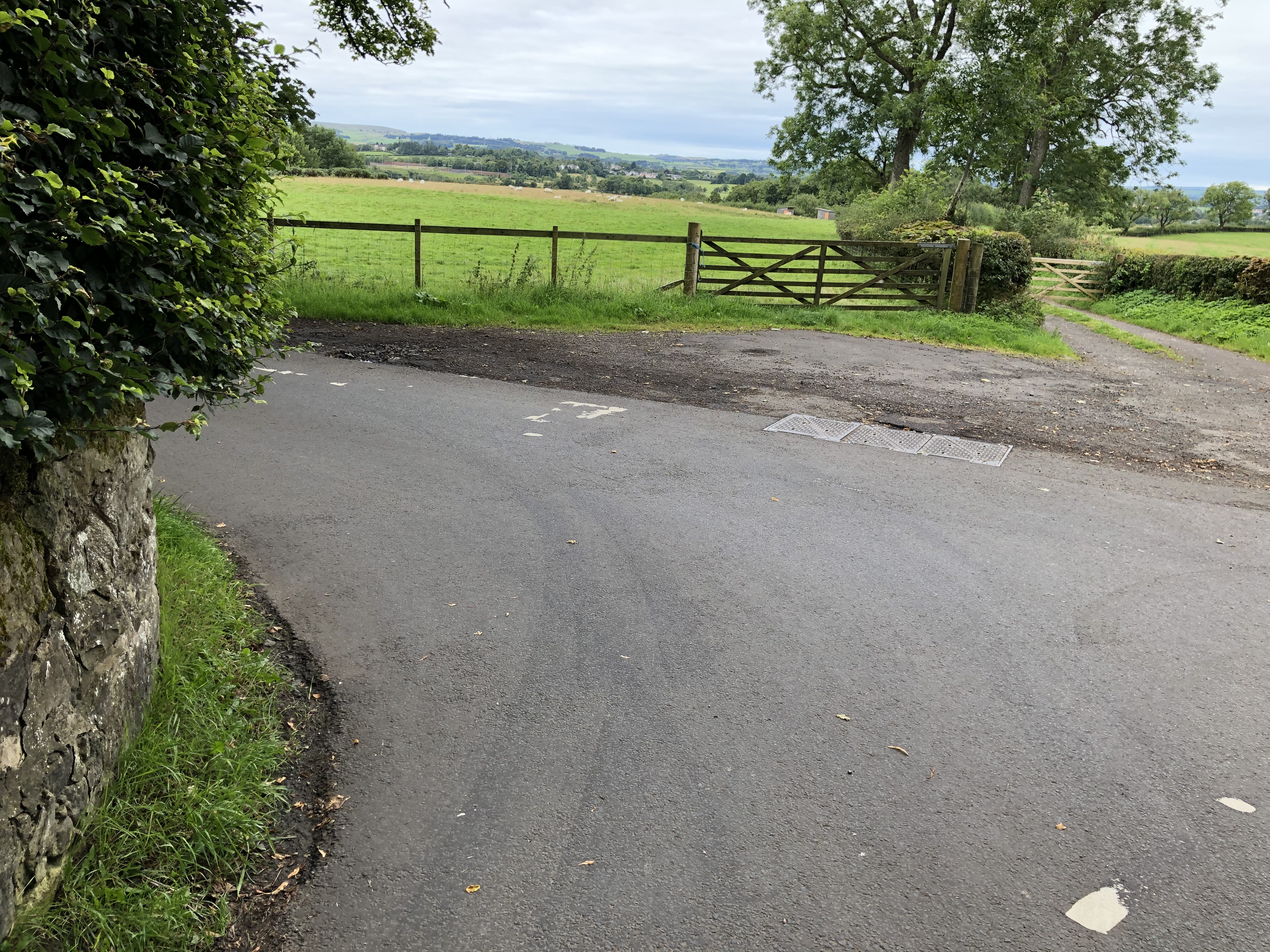
Photo after 9 km
Turn ledt , down towards the Museum of Rural Life
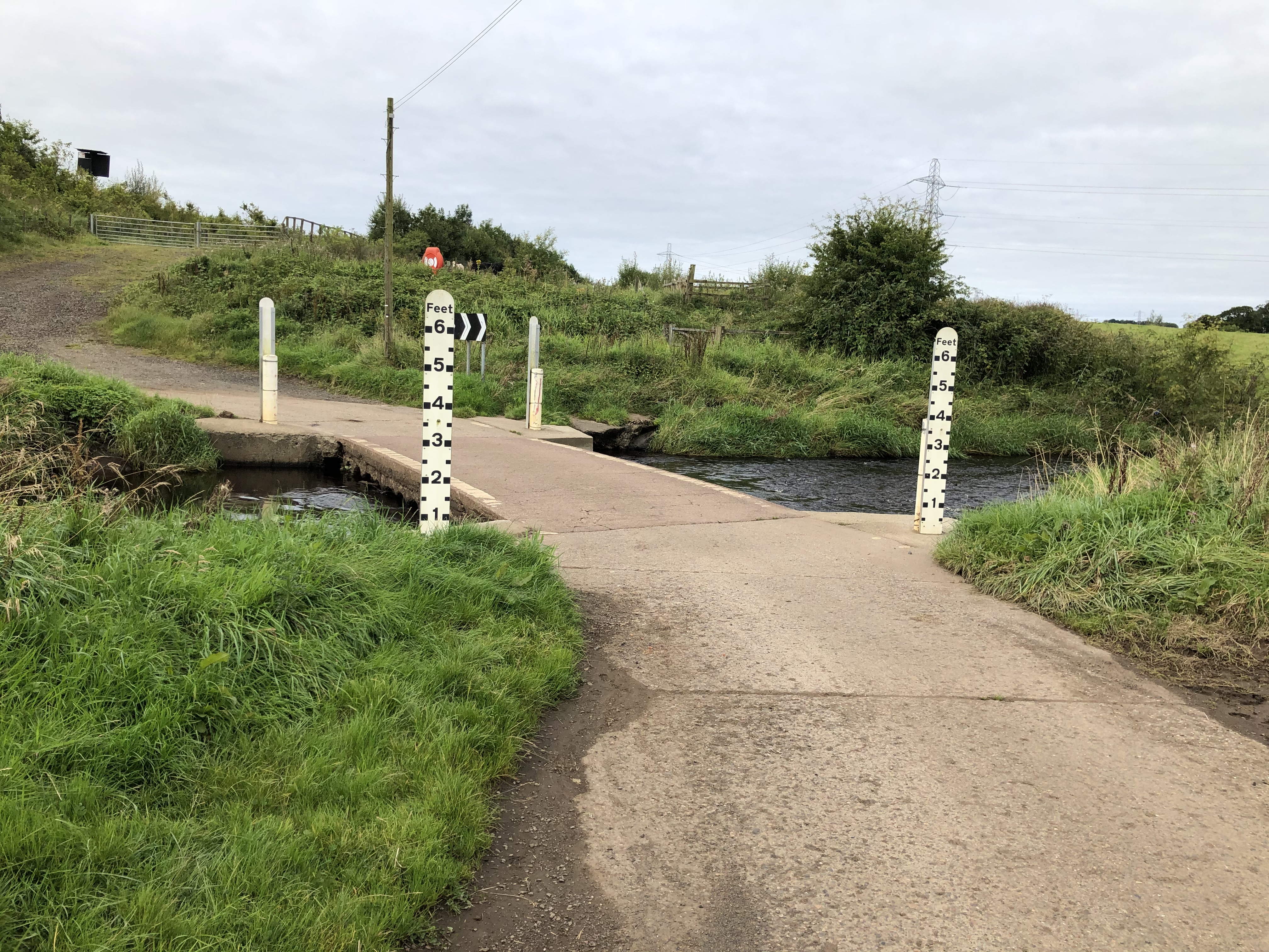
Photo after 14.9 km
Ford
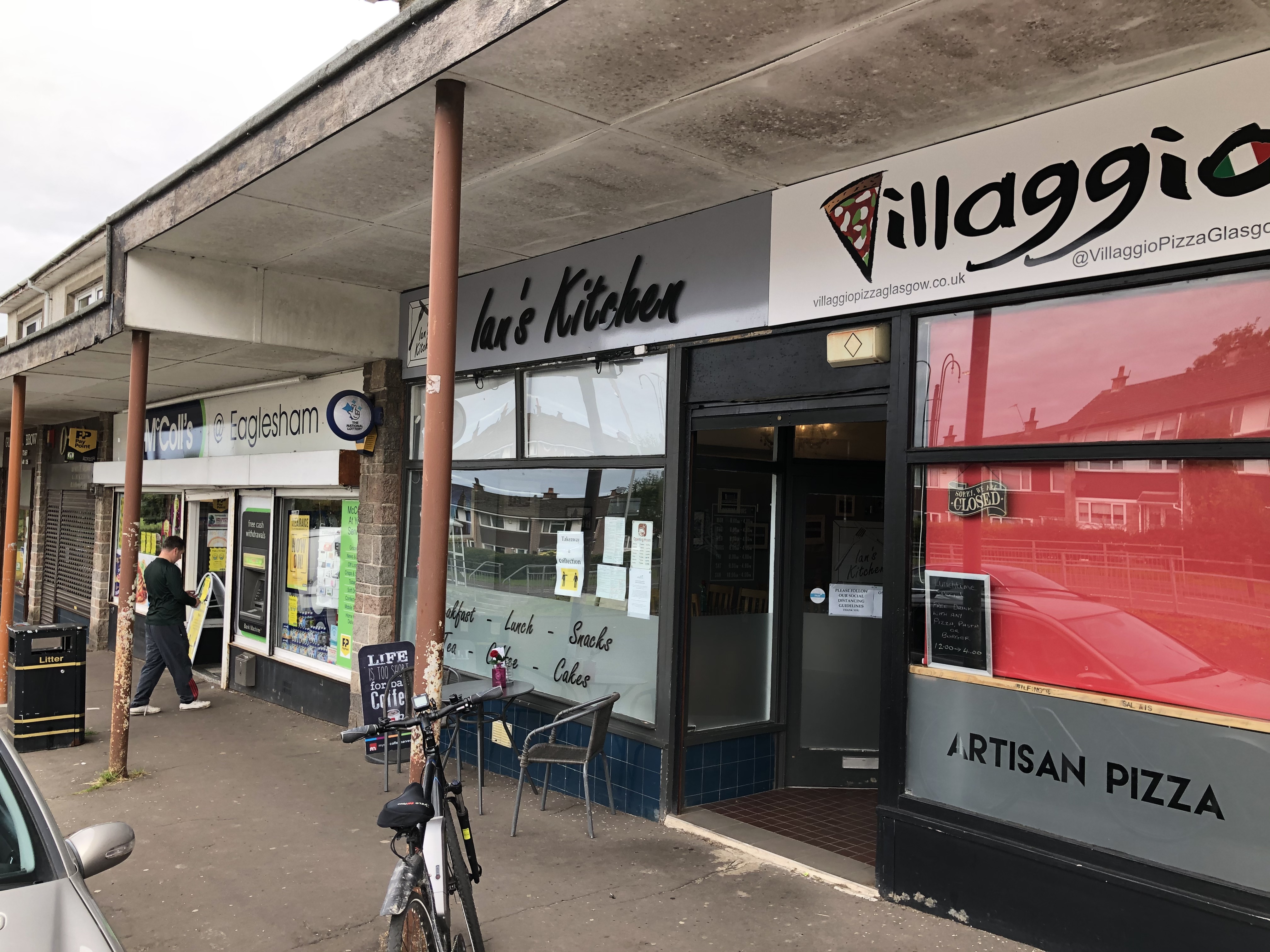
Photo after 16.3 km
Continue with Bikemap
Use, edit, or download this cycling route
You would like to ride Cambuslang to Eaglesham or customize it for your own trip? Here is what you can do with this Bikemap route:
Free features
- Save this route as favorite or in collections
- Copy & plan your own version of this route
- Sync your route with Garmin or Wahoo
Premium features
Free trial for 3 days, or one-time payment. More about Bikemap Premium.
- Navigate this route on iOS & Android
- Export a GPX / KML file of this route
- Create your custom printout (try it for free)
- Download this route for offline navigation
Discover more Premium features.
Get Bikemap PremiumFrom our community
Other popular routes starting in Rutherglen
 548 Carntyne Road, Glasgow do 59 Merchiston Street, Glasgow
- Distance
- 100.4 km
- Ascent
- 699 m
- Descent
- 695 m
- Location
- Rutherglen, Scotland, United Kingdom
 7 hills
- Distance
- 56.6 km
- Ascent
- 518 m
- Descent
- 535 m
- Location
- Rutherglen, Scotland, United Kingdom
 Zrelaksowana trasa w Glasgow
- Distance
- 13.1 km
- Ascent
- 101 m
- Descent
- 105 m
- Location
- Rutherglen, Scotland, United Kingdom
 Route 1
- Distance
- 61.4 km
- Ascent
- 417 m
- Descent
- 420 m
- Location
- Rutherglen, Scotland, United Kingdom
 Łatwa trasa w Glasgow
- Distance
- 48.6 km
- Ascent
- 586 m
- Descent
- 585 m
- Location
- Rutherglen, Scotland, United Kingdom
 Route from The Green, Glasgow
- Distance
- 38.4 km
- Ascent
- 0 m
- Descent
- 7 m
- Location
- Rutherglen, Scotland, United Kingdom
 Glasgow Hospitals: NVH to GRI
- Distance
- 5.6 km
- Ascent
- 60 m
- Descent
- 46 m
- Location
- Rutherglen, Scotland, United Kingdom
 40 Dixon Avenue, Glasgow to 1 Ladykirk Crescent, Paisley
- Distance
- 13.2 km
- Ascent
- 153 m
- Descent
- 159 m
- Location
- Rutherglen, Scotland, United Kingdom
Open it in the app


