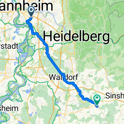
mini tour 1
A cycling route starting in Altrip, Rhineland-Palatinate, Germany.
Overview
About this route
<span id="result_box" class="short_text" lang="de"><span>Spaß haben</span></span>
- -:--
- Duration
- 4.8 km
- Distance
- 12 m
- Ascent
- 11 m
- Descent
- ---
- Avg. speed
- ---
- Max. altitude
Route quality
Waytypes & surfaces along the route
Waytypes
Access road
2.2 km
(45 %)
Quiet road
1 km
(21 %)
Surfaces
Paved
4 km
(83 %)
Unpaved
0.4 km
(9 %)
Asphalt
4 km
(83 %)
Ground
0.4 km
(9 %)
Undefined
0.4 km
(8 %)
Continue with Bikemap
Use, edit, or download this cycling route
You would like to ride mini tour 1 or customize it for your own trip? Here is what you can do with this Bikemap route:
Free features
- Save this route as favorite or in collections
- Copy & plan your own version of this route
- Sync your route with Garmin or Wahoo
Premium features
Free trial for 3 days, or one-time payment. More about Bikemap Premium.
- Navigate this route on iOS & Android
- Export a GPX / KML file of this route
- Create your custom printout (try it for free)
- Download this route for offline navigation
Discover more Premium features.
Get Bikemap PremiumFrom our community
Other popular routes starting in Altrip
- Mannheim-Neckarau nach Mannheim-Fanklin und zurück
- Distance
- 29.4 km
- Ascent
- 174 m
- Descent
- 174 m
- Location
- Altrip, Rhineland-Palatinate, Germany
- Mannheim - Lampertheim
- Distance
- 41 km
- Ascent
- 37 m
- Descent
- 39 m
- Location
- Altrip, Rhineland-Palatinate, Germany
- Durch den Rheinauer Wald
- Distance
- 8.9 km
- Ascent
- 40 m
- Descent
- 40 m
- Location
- Altrip, Rhineland-Palatinate, Germany
- Altrip-Speyer-Dudenhofen-Waldsee-Altrip CLONED FROM ROUTE 21934
- Distance
- 44.3 km
- Ascent
- 50 m
- Descent
- 50 m
- Location
- Altrip, Rhineland-Palatinate, Germany
- Mannheim -Ketsch-Speyer-Altrip-Mannheim
- Distance
- 60.1 km
- Ascent
- 85 m
- Descent
- 83 m
- Location
- Altrip, Rhineland-Palatinate, Germany
- Königsstuhl - Wilhelmsfeld - Langenthal - Rothenberg - Rippenweier
- Distance
- 111.4 km
- Ascent
- 1,574 m
- Descent
- 1,576 m
- Location
- Altrip, Rhineland-Palatinate, Germany
- Neckarauer Straße 17, Mannheim nach Fischerstraße 48, Mannheim
- Distance
- 20.8 km
- Ascent
- 57 m
- Descent
- 57 m
- Location
- Altrip, Rhineland-Palatinate, Germany
- Neckarau Altrip Speyer Wörth Straßburg links
- Distance
- 153.3 km
- Ascent
- 111 m
- Descent
- 59 m
- Location
- Altrip, Rhineland-Palatinate, Germany
Open it in the app