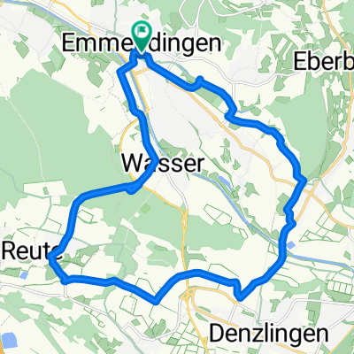
Lessingstraße 7A nach Ensisheimer Straße beste Route
- 15.9 km
- 72 m
- 33 m
- Emmendingen, Baden-Wurttemberg, Germany
A cycling route starting in Emmendingen, Baden-Wurttemberg, Germany.
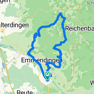
Overview
Large three-day tour through Baden-Württemberg.
Start in Freiburg, by train to Tuttlingen. Then 130 km of varied route through the woods, on roads, and through beautiful recreational areas to Leutkirch in Allgäu.
The next day, take the train via Ulm to Stuttgart. Then continue by bike to Weil der Stadt.
The third day takes you along the bike path along the Nagold to Pforzheim.
created this 17 years ago
Route highlights
Start erste Etappe
Ende erste Etappe, Zugfahrt nach Stuttgart
Start zweite Etappe nach Weil der Stadt
Zwischenstop - Start dritte Etappe nach Pforzheim
Ende dritte Etappe, zurück über Kalsruhe mit dem Zug
Continue with Bikemap
You would like to ride Zug und MTB-Tour Tuttlingen, Stuttgart, Pforzheim or customize it for your own trip? Here is what you can do with this Bikemap route:
Free trial for 3 days, or one-time payment. More about Bikemap Premium.
Discover more Premium features.
Get Bikemap PremiumFrom our community
Open it in the app