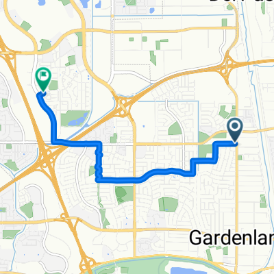
quick lap
- 22.1 km
- 29 m
- 32 m
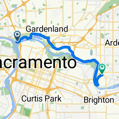
- Sacramento, California, United States
A cycling route starting in Sacramento, California, United States.
Overview
created this 5 years ago
Route quality
Path
44.3 km
(57 %)
Cycleway
31.9 km
(41 %)
Paved
77 km
(99 %)
Asphalt
76.2 km
(98 %)
Paved (undefined)
0.8 km
(1 %)
Undefined
0.8 km
(1 %)
Continue with Bikemap
You would like to ride American River Bike Trail (Roundtrip from Old Town) or customize it for your own trip? Here is what you can do with this Bikemap route:
Free trial for 3 days, or one-time payment. More about Bikemap Premium.
Discover more Premium features.
Get Bikemap PremiumFrom our community
Open it in the app