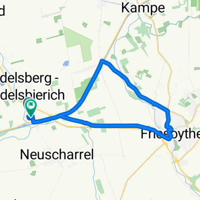
Kreuz und quer durch den Eleonorenwald
A cycling route starting in Hilkenbrook, Lower Saxony, Germany.
Overview
About this route
Route von„Werlter Weg, 26169 Friesoythe“ nach „Werlter Weg, 26169 Friesoythe“ via „Eismoorstraße, 49757 Vrees“, „Eismoorstraße, 26169 Friesoythe“, „Herzogstraße, 26169 Friesoythe“, „Fleerweg 2–4, 26169 Friesoythe“, „26169 Friesoythe, 26169 Friesoythe“, „26169 Friesoythe, 26169 Friesoythe“, „49757 Vrees, 49757 Vrees“, „49757 Vrees, 49757 Vrees“, „49757 Vrees, 49757 Vrees“, „49757 Vrees, 49757 Vrees“, „Trift 72–86, 49757 Vrees“, „Herzogstraße, 49757 Vrees“, „Herzogstraße, 49757 Vrees“, „49757 Vrees, 49757 Vrees“, „49757 Vrees, 49757 Vrees“, „49757 Vrees, 49757 Vrees“, „26169 Friesoythe, 26169 Friesoythe“, „49757 Vrees, 49757 Vrees“
- 48 min
- Duration
- 31.2 km
- Distance
- 48 m
- Ascent
- 48 m
- Descent
- 39.2 km/h
- Avg. speed
- ---
- Max. altitude
Continue with Bikemap
Use, edit, or download this cycling route
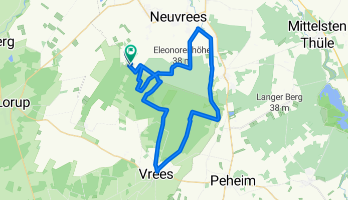
You would like to ride Kreuz und quer durch den Eleonorenwald or customize it for your own trip? Here is what you can do with this Bikemap route:
Free features
- Save this route as favorite or in collections
- Copy & plan your own version of this route
- Sync your route with Garmin or Wahoo
Premium features
Free trial for 3 days, or one-time payment. More about Bikemap Premium.
- Navigate this route on iOS & Android
- Export a GPX / KML file of this route
- Create your custom printout (try it for free)
- Download this route for offline navigation
Discover more Premium features.
Get Bikemap PremiumFrom our community
Other popular routes starting in Hilkenbrook
- Walters Tour 002
- Distance
- 75.5 km
- Ascent
- 132 m
- Descent
- 119 m
- Location
- Hilkenbrook, Lower Saxony, Germany
- Wanderweg "Sedelsberg3"
- Distance
- 2.7 km
- Ascent
- 0 m
- Descent
- 4 m
- Location
- Hilkenbrook, Lower Saxony, Germany
- Kirchentour Gemeinde Saterland
- Distance
- 35.9 km
- Ascent
- 9 m
- Descent
- 9 m
- Location
- Hilkenbrook, Lower Saxony, Germany
- Kreuz und quer durch den Eleonorenwald
- Distance
- 31.2 km
- Ascent
- 48 m
- Descent
- 48 m
- Location
- Hilkenbrook, Lower Saxony, Germany
- Müller mahle mein Mehl
- Distance
- 48.4 km
- Ascent
- 0 m
- Descent
- 0 m
- Location
- Hilkenbrook, Lower Saxony, Germany
- Wanderweg "Sedelsberg2"
- Distance
- 4.6 km
- Ascent
- 0 m
- Descent
- 0 m
- Location
- Hilkenbrook, Lower Saxony, Germany
- Kirchentour Barßel und Saterland
- Distance
- 60 km
- Ascent
- 9 m
- Descent
- 9 m
- Location
- Hilkenbrook, Lower Saxony, Germany
- Mario
- Distance
- 45.1 km
- Ascent
- 22 m
- Descent
- 24 m
- Location
- Hilkenbrook, Lower Saxony, Germany
Open it in the app