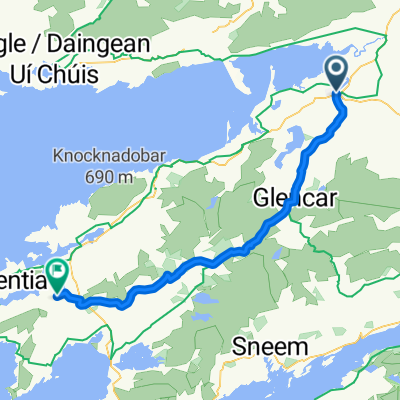
Irland 2002 von Killorglin nach Tralee am 24.09.02
A cycling route starting in Killorglin, Munster, Ireland.
Overview
About this route
24.09.02
Killorglin > Inch / Strand > Anascaul > Dingle > Slea Head > Dunquin > Gallarus Oratory > Dingle > Connor Pass > Blennerville > Tralee / Camping
- -:--
- Duration
- 152.6 km
- Distance
- 767 m
- Ascent
- 781 m
- Descent
- ---
- Avg. speed
- ---
- Max. altitude
Route highlights
Points of interest along the route
Point of interest after 32.3 km
der Strand Inch
Point of interest after 72.5 km
Slea Head / über diesen Punkt führt die Straße tatsächlich
Point of interest after 73.3 km
Auch ein schöner, einsamer Strand
Point of interest after 75 km
Klippen und Formationen ohne Ende
Point of interest after 88 km
Gallarus Oratory
Point of interest after 106.7 km
Connor Pass
Point of interest after 145.5 km
Windmühle Blennerville
Continue with Bikemap
Use, edit, or download this cycling route
You would like to ride Irland 2002 von Killorglin nach Tralee am 24.09.02 or customize it for your own trip? Here is what you can do with this Bikemap route:
Free features
- Save this route as favorite or in collections
- Copy & plan your own version of this route
- Split it into stages to create a multi-day tour
- Sync your route with Garmin or Wahoo
Premium features
Free trial for 3 days, or one-time payment. More about Bikemap Premium.
- Navigate this route on iOS & Android
- Export a GPX / KML file of this route
- Create your custom printout (try it for free)
- Download this route for offline navigation
Discover more Premium features.
Get Bikemap PremiumFrom our community
Other popular routes starting in Killorglin
- RingofKerry KK
- Distance
- 211 km
- Ascent
- 1,026 m
- Descent
- 1,026 m
- Location
- Killorglin, Munster, Ireland
- Tag 29: Kerry
- Distance
- 77.3 km
- Ascent
- 1,037 m
- Descent
- 1,118 m
- Location
- Killorglin, Munster, Ireland
- Skellig Ring
- Distance
- 163.6 km
- Ascent
- 959 m
- Descent
- 961 m
- Location
- Killorglin, Munster, Ireland
- Caragh Lake route
- Distance
- 41.2 km
- Ascent
- 508 m
- Descent
- 504 m
- Location
- Killorglin, Munster, Ireland
- BALLAGHASHEEN PASS, por Curragh Beg
- Distance
- 6.4 km
- Ascent
- 265 m
- Descent
- 0 m
- Location
- Killorglin, Munster, Ireland
- Irland 2002 von Killorglin nach Tralee am 24.09.02
- Distance
- 152.6 km
- Ascent
- 767 m
- Descent
- 781 m
- Location
- Killorglin, Munster, Ireland
- 1. Ring of Kerry
- Distance
- 190.5 km
- Ascent
- 1,003 m
- Descent
- 981 m
- Location
- Killorglin, Munster, Ireland
- cromane caragh lake kilorglin
- Distance
- 42 km
- Ascent
- 519 m
- Descent
- 520 m
- Location
- Killorglin, Munster, Ireland
Open it in the app