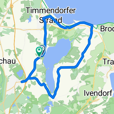
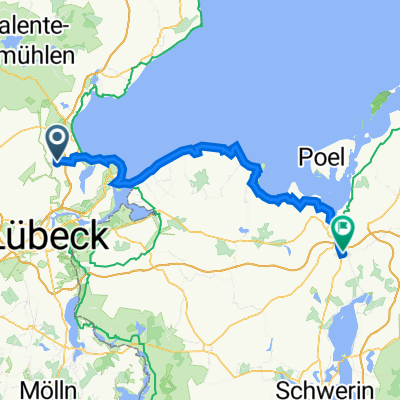
Pansdorf über Travemünde
A cycling route starting in Ratekau, Schleswig-Holstein, Germany.
Overview
About this route
eine sehr sehr schöne tour 95% asthalt an der küste 5 % unbefestigt
- -:--
- Duration
- 33 km
- Distance
- 126 m
- Ascent
- 126 m
- Descent
- ---
- Avg. speed
- ---
- Avg. speed
Route quality
Waytypes & surfaces along the route
Waytypes
Quiet road
13.2 km
(40 %)
Cycleway
7 km
(21 %)
Surfaces
Paved
23.5 km
(71 %)
Unpaved
6.7 km
(20 %)
Asphalt
18.9 km
(57 %)
Gravel
6.4 km
(19 %)
Continue with Bikemap
Use, edit, or download this cycling route
You would like to ride Pansdorf über Travemünde or customize it for your own trip? Here is what you can do with this Bikemap route:
Free features
- Save this route as favorite or in collections
- Copy & plan your own version of this route
- Sync your route with Garmin or Wahoo
Premium features
Free trial for 3 days, or one-time payment. More about Bikemap Premium.
- Navigate this route on iOS & Android
- Export a GPX / KML file of this route
- Create your custom printout (try it for free)
- Download this route for offline navigation
Discover more Premium features.
Get Bikemap PremiumFrom our community
Other popular routes starting in Ratekau
- SH_39_R_Ratekau-Travemünde-Priwall-Timmendorfer Strand-Ratekau2020-06-25 12:17:24
- Distance
- 39.6 km
- Ascent
- 177 m
- Descent
- 177 m
- Location
- Ratekau, Schleswig-Holstein, Germany
- kleine Feierabendrunde ab Ratekau
- Distance
- 33.1 km
- Ascent
- 133 m
- Descent
- 136 m
- Location
- Ratekau, Schleswig-Holstein, Germany
- Norderstraße 18, Ratekau nach Norderstraße 20, Ratekau
- Distance
- 21.8 km
- Ascent
- 213 m
- Descent
- 215 m
- Location
- Ratekau, Schleswig-Holstein, Germany
- mittlere Trainingsrunde durch Ostholstein (ca. 60km)
- Distance
- 61.6 km
- Ascent
- 325 m
- Descent
- 321 m
- Location
- Ratekau, Schleswig-Holstein, Germany
- Pansdorf - Ahrensburg - Eutin - Runde
- Distance
- 45.6 km
- Ascent
- 243 m
- Descent
- 223 m
- Location
- Ratekau, Schleswig-Holstein, Germany
- Familienfreundliche Rundtour um den Hemmelsdorfer See CLONED FROM ROUTE 62466
- Distance
- 22.8 km
- Ascent
- 68 m
- Descent
- 70 m
- Location
- Ratekau, Schleswig-Holstein, Germany
- Ostholsteinische Küstentour
- Distance
- 88.4 km
- Ascent
- 379 m
- Descent
- 381 m
- Location
- Ratekau, Schleswig-Holstein, Germany
- Sonntagnachmittag durch OH-SE-OD
- Distance
- 54.9 km
- Ascent
- 207 m
- Descent
- 204 m
- Location
- Ratekau, Schleswig-Holstein, Germany
Open it in the app