

Banská Bystrica - Selce - Baláže - Donovaly
A cycling route starting in Banská Bystrica, Banská Bystrica Region, Slovakia.
Overview
About this route
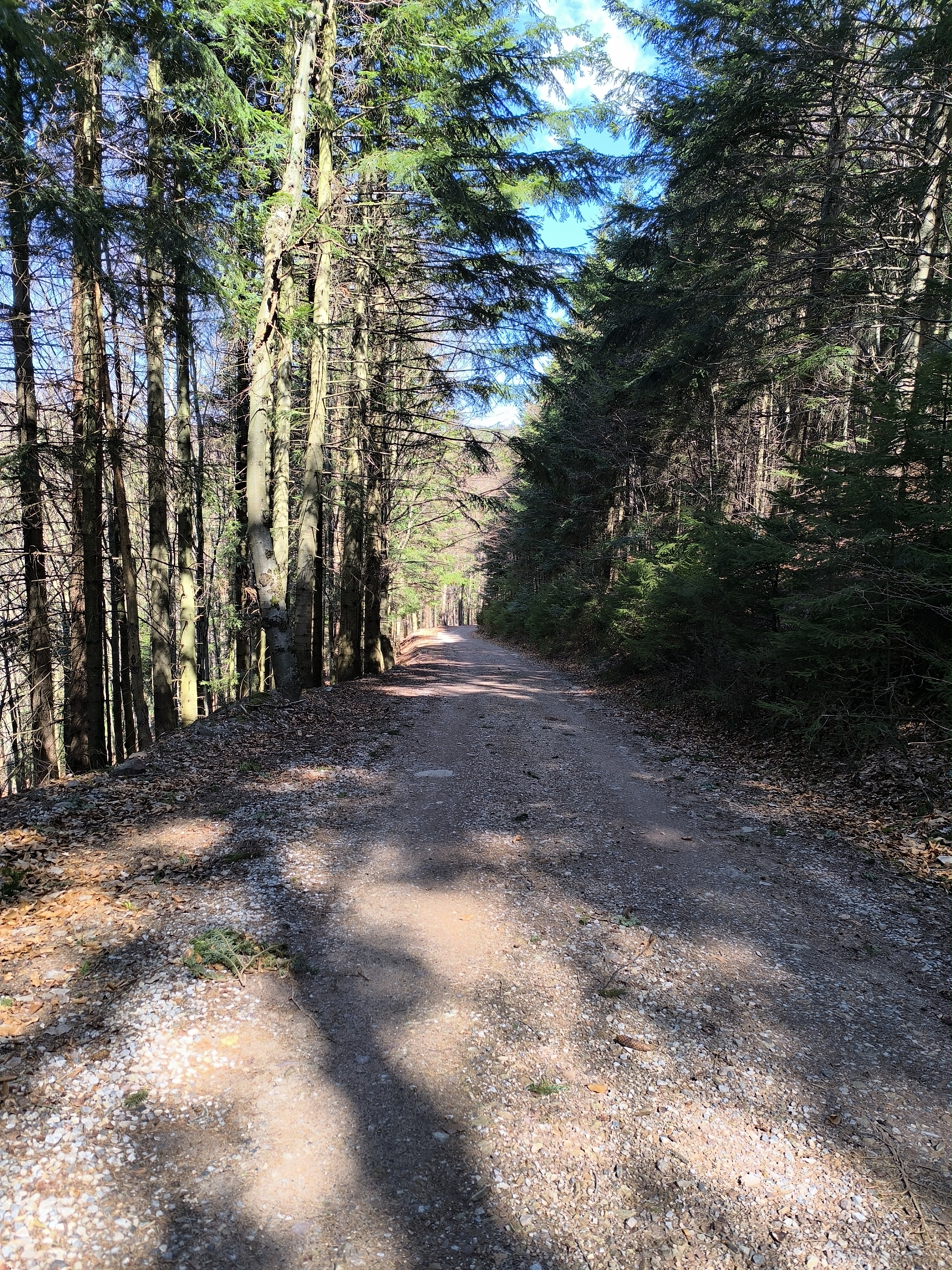
Asfalt - cesty, polne / lesne cesty
- -:--
- Duration
- 25.6 km
- Distance
- 919 m
- Ascent
- 249 m
- Descent
- ---
- Avg. speed
- 1,092 m
- Max. altitude

Route quality
Waytypes & surfaces along the route
Waytypes
Road
14.1 km
(55 %)
Track
7.7 km
(30 %)
Surfaces
Paved
2.6 km
(10 %)
Unpaved
7.4 km
(29 %)
Gravel
6.9 km
(27 %)
Asphalt
2.6 km
(10 %)
Continue with Bikemap
Use, edit, or download this cycling route
You would like to ride Banská Bystrica - Selce - Baláže - Donovaly or customize it for your own trip? Here is what you can do with this Bikemap route:
Free features
- Save this route as favorite or in collections
- Copy & plan your own version of this route
- Sync your route with Garmin or Wahoo
Premium features
Free trial for 3 days, or one-time payment. More about Bikemap Premium.
- Navigate this route on iOS & Android
- Export a GPX / KML file of this route
- Create your custom printout (try it for free)
- Download this route for offline navigation
Discover more Premium features.
Get Bikemap PremiumFrom our community
Other popular routes starting in Banská Bystrica
 Banska Bystrica - Spania dolina - Sachticka - Banska Bystrica
- Distance
- 20 km
- Ascent
- 821 m
- Descent
- 680 m
- Location
- Banská Bystrica, Banská Bystrica Region, Slovakia
 Hiadeľ Moštenica Kalište Baláže Š. Ľupča Hiadeľ
- Distance
- 50.9 km
- Ascent
- 1,094 m
- Descent
- 1,136 m
- Location
- Banská Bystrica, Banská Bystrica Region, Slovakia
 Na Kralovu Studnu
- Distance
- 50.3 km
- Ascent
- 2,257 m
- Descent
- 2,294 m
- Location
- Banská Bystrica, Banská Bystrica Region, Slovakia
 SOFTIP CYKLO TOUR 2022 - Donovaly
- Distance
- 28.1 km
- Ascent
- 794 m
- Descent
- 793 m
- Location
- Banská Bystrica, Banská Bystrica Region, Slovakia
 Laskomer tour light
- Distance
- 20.2 km
- Ascent
- 561 m
- Descent
- 560 m
- Location
- Banská Bystrica, Banská Bystrica Region, Slovakia
 Banská Bystrica - Vlkanová -Horná Mičiná - BB
- Distance
- 19 km
- Ascent
- 359 m
- Descent
- 342 m
- Location
- Banská Bystrica, Banská Bystrica Region, Slovakia
 BB,Malachov, Mutno, Kraliky, BB
- Distance
- 20.9 km
- Ascent
- 486 m
- Descent
- 491 m
- Location
- Banská Bystrica, Banská Bystrica Region, Slovakia
 Krížna -Kráľova studňa- Horný Harmanec
- Distance
- 17.7 km
- Ascent
- 107 m
- Descent
- 1,075 m
- Location
- Banská Bystrica, Banská Bystrica Region, Slovakia
Open it in the app