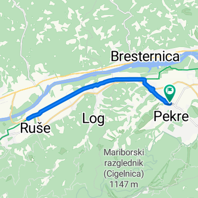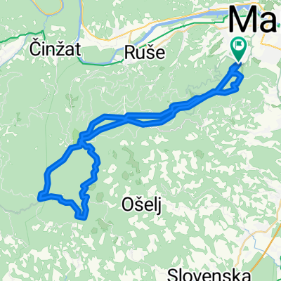
doma-gaj nad mariborom-sidro-doma
- 42.1 km
- 446 m
- 484 m
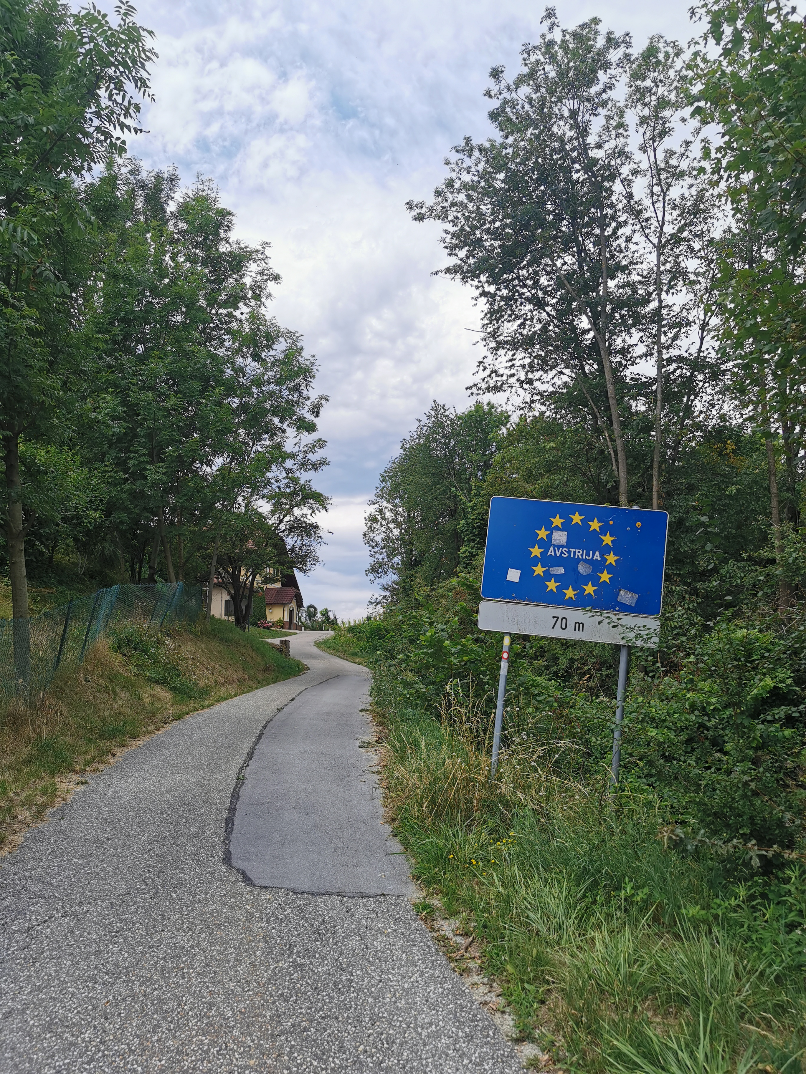
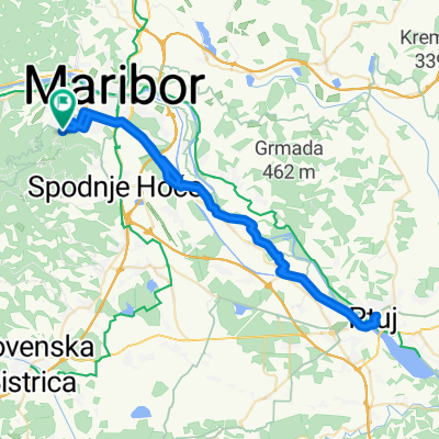
- Pekre, Maribor City Municipality, Slovenia
A cycling route starting in Pekre, Maribor City Municipality, Slovenia.
Overview
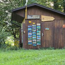
A cycling route runs along the ridges of Pohorje, connecting the eastern part with the western part. Local cycling routes from all major centers around Pohorje connect to this transversal. In the Koroška region, the starting point of this 75 km diverse tour, which is marked in both directions with the PT sign, is at the Hut below Kremžarjev vrh above Slovenj Gradec. The end of the route (or the start if riding in the opposite direction) is at the Center of Natural and Cultural Heritage at Bolfenk on Pohorje or at the lower station of the Pohorje cable car above Maribor.
Pohorje is a mountain range in the northeastern part of Slovenia. The special feature of Pohorje is the distinctive view of its dark green spruce forests. In the vast forests of Pohorje, the woods are deep and dark; in places almost impenetrable. Conifers prevail. On Ribniško Pohorje grows the Sgerm spruce, which at 61.8 meters is the tallest tree in Central Europe.
created this 5 years ago
Route quality
Track
52.2 km
(58 %)
Quiet road
18.9 km
(21 %)
Paved
27 km
(30 %)
Unpaved
57.6 km
(64 %)
Gravel
42.3 km
(47 %)
Asphalt
14.4 km
(16 %)
Continue with Bikemap
You would like to ride Pohorska kolesarska transverzala (PT) or customize it for your own trip? Here is what you can do with this Bikemap route:
Free trial for 3 days, or one-time payment. More about Bikemap Premium.
Discover more Premium features.
Get Bikemap PremiumFrom our community
Open it in the app