

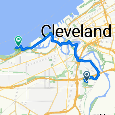
1101–1371 W Fourth St, Cleveland to 1817 N Fourth St, Columbus
A cycling route starting in Cleveland, Ohio, United States.
Overview
About this route
0
- 13:36 h
- Duration
- 244.7 km
- Distance
- 1,409 m
- Ascent
- 1,358 m
- Descent
- 18 km/h
- Avg. speed
- ---
- Max. altitude
Matt
created this 5 years ago
Route quality
Waytypes & surfaces along the route
Waytypes
Road
127.3 km
52 %
Quiet road
58.7 km
24 %
Surfaces
Paved
83.2 km
(34 %)
Asphalt
66.1 km
27 %
Paved (undefined)
14.7 km
6 %
Continue with Bikemap
Use, edit, or download this cycling route
You would like to ride 1101–1371 W Fourth St, Cleveland to 1817 N Fourth St, Columbus or customize it for your own trip? Here is what you can do with this Bikemap route:
Free features
- Save this route as favorite or in collections
- Copy & plan your own version of this route
- Split it into stages to create a multi-day tour
- Sync your route with Garmin or Wahoo
Premium features
Free trial for 3 days, or one-time payment. More about Bikemap Premium.
- Navigate this route on iOS & Android
- Export a GPX / KML file of this route
- Create your custom printout (try it for free)
- Download this route for offline navigation
Discover more Premium features.
Get Bikemap PremiumFrom our community
Other popular routes starting in Cleveland
- Cleveland Memorial Shoreway 7600 to Humbert Street 3405, Cincinnati0
- 519.8 km
- 2,859 m
- 2,884 m
- Cleveland, Ohio, United States
- Route to North Saint James Parkway 2176, Cleveland Heights0
- 12.7 km
- 118 m
- 43 m
- Cleveland, Ohio, United States
- West 17th Street 2306, Cleveland to North Saint James Parkway 2170, Cleveland Heights0
- 15.3 km
- 176 m
- 86 m
- Cleveland, Ohio, United States


Open it in the app