

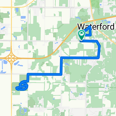
307 Leo Ave, Trail Creek to 324 Johnson Rd, Trail Creek
A cycling route starting in Trail Creek, Indiana, United States.
Overview
About this route
- 1 h 43 min
- Duration
- 28.4 km
- Distance
- 346 m
- Ascent
- 346 m
- Descent
- 16.6 km/h
- Avg. speed
- ---
- Max. altitude
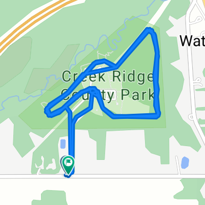
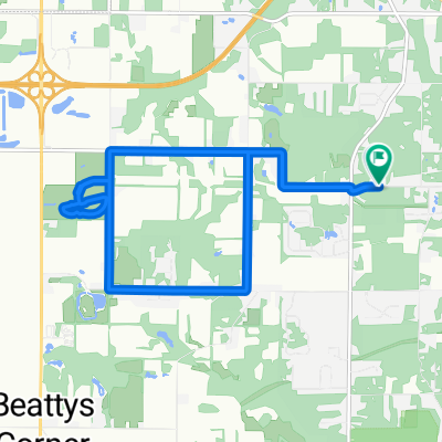
Route quality
Waytypes & surfaces along the route
Waytypes
Road
15.3 km
(54 %)
Quiet road
10.5 km
(37 %)
Surfaces
Paved
2.3 km
(8 %)
Asphalt
2.3 km
(8 %)
Undefined
26.1 km
(92 %)
Continue with Bikemap
Use, edit, or download this cycling route
You would like to ride 307 Leo Ave, Trail Creek to 324 Johnson Rd, Trail Creek or customize it for your own trip? Here is what you can do with this Bikemap route:
Free features
- Save this route as favorite or in collections
- Copy & plan your own version of this route
- Sync your route with Garmin or Wahoo
Premium features
Free trial for 3 days, or one-time payment. More about Bikemap Premium.
- Navigate this route on iOS & Android
- Export a GPX / KML file of this route
- Create your custom printout (try it for free)
- Download this route for offline navigation
Discover more Premium features.
Get Bikemap PremiumFrom our community
Other popular routes starting in Trail Creek
 W County Road 400 N, Michigan City to W County Road 400 N, Michigan City
- Distance
- 19.6 km
- Ascent
- 78 m
- Descent
- 76 m
- Location
- Trail Creek, Indiana, United States
 09/17/2020
- Distance
- 3.2 km
- Ascent
- 11 m
- Descent
- 13 m
- Location
- Trail Creek, Indiana, United States
 307 Leo Ave, Trail Creek to 324 Johnson Rd, Trail Creek
- Distance
- 28.4 km
- Ascent
- 346 m
- Descent
- 346 m
- Location
- Trail Creek, Indiana, United States
 1316 N Cortland Ln, La Porte to 1316 N Cortland Ln, La Porte
- Distance
- 12.6 km
- Ascent
- 183 m
- Descent
- 184 m
- Location
- Trail Creek, Indiana, United States
 W County Road 400 N, Michigan City to W County Road 400 N, Michigan City
- Distance
- 10.1 km
- Ascent
- 28 m
- Descent
- 29 m
- Location
- Trail Creek, Indiana, United States
 W County Road 275 N, Michigan City to W County Road 275 N, Michigan City
- Distance
- 13 km
- Ascent
- 66 m
- Descent
- 68 m
- Location
- Trail Creek, Indiana, United States
 421 Trail St, Trail Creek to Prairie Duneland Trail, Portage
- Distance
- 33.4 km
- Ascent
- 106 m
- Descent
- 110 m
- Location
- Trail Creek, Indiana, United States
 609 US-20, Michigan City to Downtown Gary, Gary
- Distance
- 54 km
- Ascent
- 152 m
- Descent
- 162 m
- Location
- Trail Creek, Indiana, United States
Open it in the app