Měřín - Rabyně - Třebenice - Štěchovice - osady kolem Kocáby - Bojanovice - Živohošť - Nebřich - Měřín
- 48.2 km
- 913 m
- 913 m
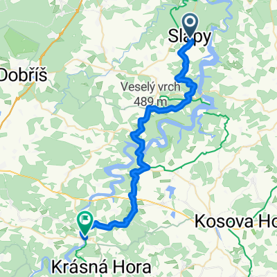
- Štěchovice, Central Bohemia, Czechia
A cycling route starting in Štěchovice, Central Bohemia, Czechia.
Overview
created this 15 years ago
Route quality
Road
39 km
(54 %)
Quiet road
2.9 km
(4 %)
Paved
3.6 km
(5 %)
Unpaved
0.7 km
(1 %)
Asphalt
3.6 km
(5 %)
Unpaved (undefined)
0.7 km
(1 %)
Undefined
68 km
(94 %)
Continue with Bikemap
You would like to ride Slapy 2011/2 or customize it for your own trip? Here is what you can do with this Bikemap route:
Free trial for 3 days, or one-time payment. More about Bikemap Premium.
Discover more Premium features.
Get Bikemap PremiumFrom our community
Open it in the app