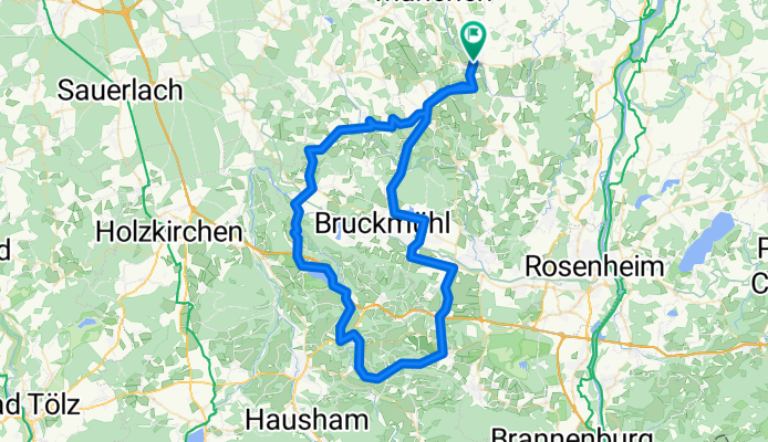
Assling - Seehammer See und Retour
A cycling route starting in Aßling, Bavaria, Germany.
Overview
About this route
- -:--
- Duration
- 81.3 km
- Distance
- 982 m
- Ascent
- 934 m
- Descent
- ---
- Avg. speed
- 771 m
- Avg. speed
Route quality
Waytypes & surfaces along the route
Waytypes
Quiet road
33.1 km
(41 %)
Road
29.5 km
(36 %)
Surfaces
Paved
72.4 km
(89 %)
Unpaved
3.2 km
(4 %)
Asphalt
71.7 km
(88 %)
Gravel
2.7 km
(3 %)
Continue with Bikemap
Use, edit, or download this cycling route
You would like to ride Assling - Seehammer See und Retour or customize it for your own trip? Here is what you can do with this Bikemap route:
Free features
- Save this route as favorite or in collections
- Copy & plan your own version of this route
- Sync your route with Garmin or Wahoo
Premium features
Free trial for 3 days, or one-time payment. More about Bikemap Premium.
- Navigate this route on iOS & Android
- Export a GPX / KML file of this route
- Create your custom printout (try it for free)
- Download this route for offline navigation
Discover more Premium features.
Get Bikemap PremiumFrom our community
Other popular routes starting in Aßling
- Ulmenweg 4, Aßling nach Ulmenweg 4, Aßling
- Distance
- 27 km
- Ascent
- 251 m
- Descent
- 303 m
- Location
- Aßling, Bavaria, Germany
- Assling - Seehammer See und Retour
- Distance
- 81.3 km
- Ascent
- 982 m
- Descent
- 934 m
- Location
- Aßling, Bavaria, Germany
- Altmühl MDK
- Distance
- 750 km
- Ascent
- 4,781 m
- Descent
- 4,781 m
- Location
- Aßling, Bavaria, Germany
- Hohenthann südwärts
- Distance
- 64.8 km
- Ascent
- 590 m
- Descent
- 590 m
- Location
- Aßling, Bavaria, Germany
- In Assling geht's los
- Distance
- 32 km
- Ascent
- 232 m
- Descent
- 249 m
- Location
- Aßling, Bavaria, Germany
- Krautgartenweg nach Krautgartenweg
- Distance
- 27.6 km
- Ascent
- 292 m
- Descent
- 336 m
- Location
- Aßling, Bavaria, Germany
- Hohenthanner Feierabendrunde
- Distance
- 29.6 km
- Ascent
- 282 m
- Descent
- 318 m
- Location
- Aßling, Bavaria, Germany
- Aßling - Boras
- Distance
- 2,389 km
- Ascent
- 1,246 m
- Descent
- 1,246 m
- Location
- Aßling, Bavaria, Germany
Open it in the app