


lesAlpes 2
- 129.2 km
- 3,585 m
- 3,304 m
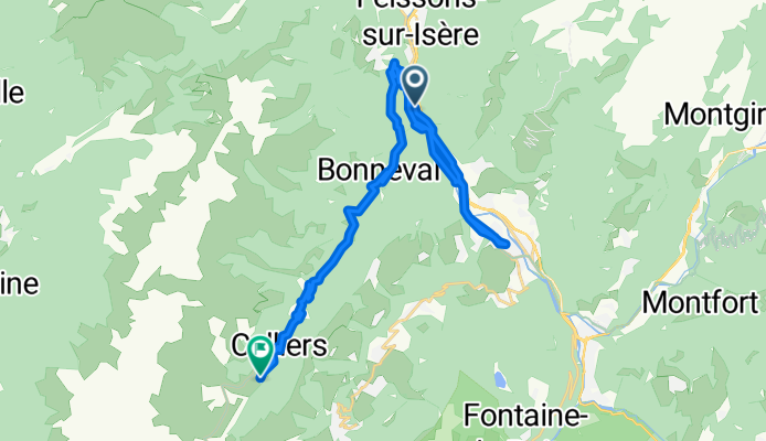
- Aigueblanche, Auvergne-Rhône-Alpes, France
A cycling route starting in Aigueblanche, Auvergne-Rhône-Alpes, France.
Overview
Stef's Tour to the Tour de France 2004 Stage 3 Part 2 from 18.07.04 Notre-Dame-de-Briancon - Aigueblanche - La Thuile - Cellieres-Dessu
From the train station Notre-Dame-de-Briancon first to eat. Since the campsite in Aigueblanche has no space for me, I am looking for another accommodation. So I have to pedal a few more altitude meters up to the bed.
created this 17 years ago
Continue with Bikemap
You would like to ride Stef@ns Tour zur Tour 2004 3. Etappe Teil 2 vom 18.07.04 or customize it for your own trip? Here is what you can do with this Bikemap route:
Free trial for 3 days, or one-time payment. More about Bikemap Premium.
Discover more Premium features.
Get Bikemap PremiumFrom our community
Open it in the app


