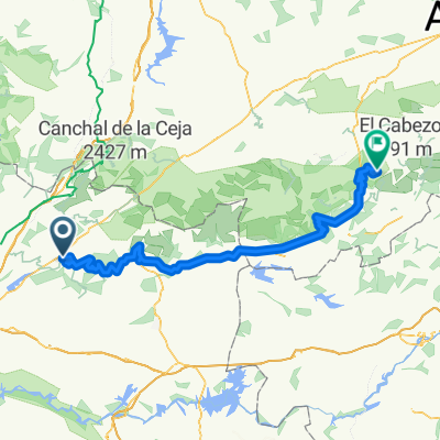
Honduras y El tormo
A cycling route starting in Valdastillas, Extremadura, Spain.
Overview
About this route
Proyecto trzado sobre el mapa. De todas formas lo conzco y merece mucho la pena.
- -:--
- Duration
- 92.3 km
- Distance
- 1,542 m
- Ascent
- 1,539 m
- Descent
- ---
- Avg. speed
- ---
- Max. altitude
Route quality
Waytypes & surfaces along the route
Waytypes
Road
44.3 km
(48 %)
Cycleway
24 km
(26 %)
Surfaces
Paved
33.2 km
(36 %)
Unpaved
0.9 km
(1 %)
Asphalt
18.5 km
(20 %)
Paved (undefined)
14.8 km
(16 %)
Continue with Bikemap
Use, edit, or download this cycling route
You would like to ride Honduras y El tormo or customize it for your own trip? Here is what you can do with this Bikemap route:
Free features
- Save this route as favorite or in collections
- Copy & plan your own version of this route
- Split it into stages to create a multi-day tour
- Sync your route with Garmin or Wahoo
Premium features
Free trial for 3 days, or one-time payment. More about Bikemap Premium.
- Navigate this route on iOS & Android
- Export a GPX / KML file of this route
- Create your custom printout (try it for free)
- Download this route for offline navigation
Discover more Premium features.
Get Bikemap PremiumFrom our community
Other popular routes starting in Valdastillas
- Ibérie Ouest, Jour 19
- Distance
- 119.7 km
- Ascent
- 2,156 m
- Descent
- 1,426 m
- Location
- Valdastillas, Extremadura, Spain
- 5 Valdastillas - Villanueva de la Vera
- Distance
- 70.7 km
- Ascent
- 1,127 m
- Descent
- 1,211 m
- Location
- Valdastillas, Extremadura, Spain
- LaExtrema18_4
- Distance
- 107.6 km
- Ascent
- 1,299 m
- Descent
- 1,300 m
- Location
- Valdastillas, Extremadura, Spain
- Sierra de Rebollar
- Distance
- 19.6 km
- Ascent
- 643 m
- Descent
- 643 m
- Location
- Valdastillas, Extremadura, Spain
- 5 Valdastillas - Villanueva de la Vera 3
- Distance
- 70.7 km
- Ascent
- 1,149 m
- Descent
- 1,234 m
- Location
- Valdastillas, Extremadura, Spain
- 5 Valdastillas - Villanueva de la Vera 1
- Distance
- 70.1 km
- Ascent
- 1,097 m
- Descent
- 1,228 m
- Location
- Valdastillas, Extremadura, Spain
- Etapa4_LaExtrema18
- Distance
- 87.6 km
- Ascent
- 1,345 m
- Descent
- 1,346 m
- Location
- Valdastillas, Extremadura, Spain
- 5 Valdastillas - Villanueva de la Vera 1
- Distance
- 70.7 km
- Ascent
- 1,085 m
- Descent
- 1,216 m
- Location
- Valdastillas, Extremadura, Spain
Open it in the app