Stiefelburgsrunde 1
- 23.1 km
- 367 m
- 304 m
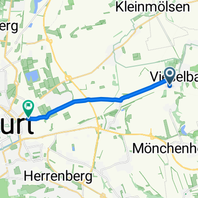
- Mönchenholzhausen, Thuringia, Germany
A cycling route starting in Mönchenholzhausen, Thuringia, Germany.
Overview
A route to slowly climb up the mountain, a nice sharp descent, followed by a small flat recovery stage, and then tendentially giving in to a slight incline again. The last third then descends back to the starting point of the route.
created this 17 years ago
Route quality
Track
13.2 km
(57 %)
Road
1.6 km
(7 %)
Paved
12 km
(52 %)
Unpaved
10.6 km
(46 %)
Asphalt
11.8 km
(51 %)
Gravel
4.4 km
(19 %)
Continue with Bikemap
You would like to ride Stiefelburgsrunde 1 or customize it for your own trip? Here is what you can do with this Bikemap route:
Free trial for 3 days, or one-time payment. More about Bikemap Premium.
Discover more Premium features.
Get Bikemap PremiumFrom our community
Open it in the app