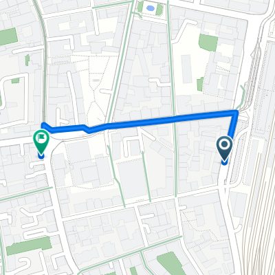
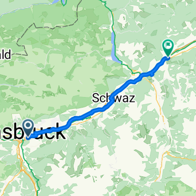
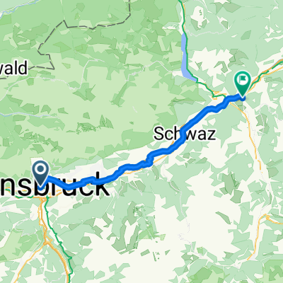
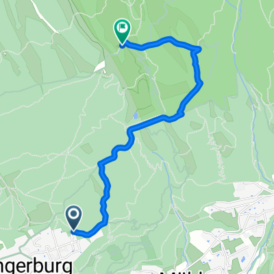
A lot but not to much
A cycling route starting in Innsbruck, Tyrol, Austria.
Overview
About this route
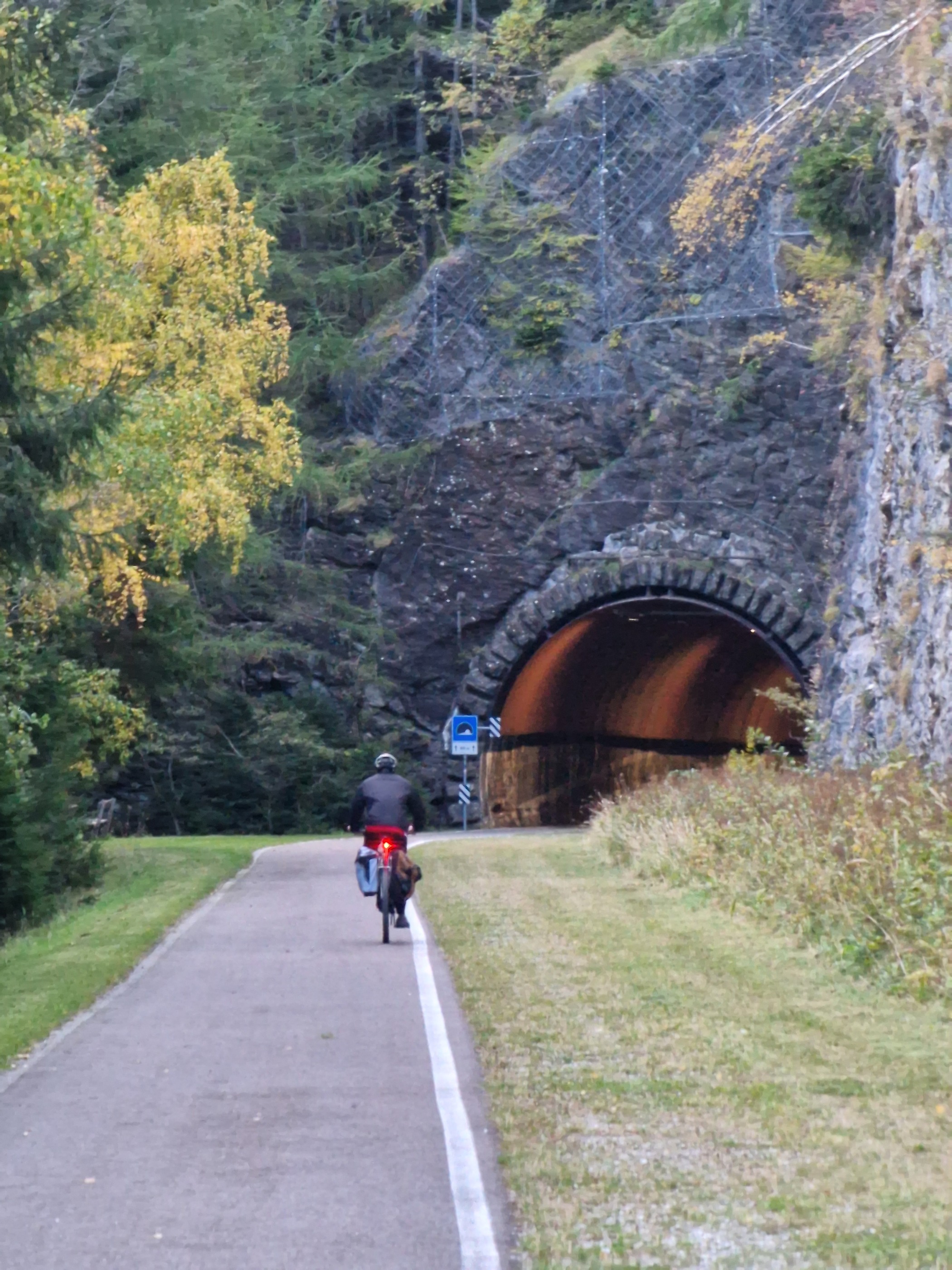
Dörfer Strasse leichte steigung.Gnadenwald,beliebte Fahrad Strecke,leichte Steigungen.Abfahrt nach Fritzens.
Steiler Aufstieg nach Volderwald.Kurz auf Hauptstrasse und links rauf Richtung Ebenwald(geheimtipp,wenig Verkehr)Über Taxerhof und Herzsee Abfahrt über Aldrans.
Â
- -:--
- Duration
- 47.1 km
- Distance
- 754 m
- Ascent
- 755 m
- Descent
- ---
- Avg. speed
- ---
- Max. altitude
Route quality
Waytypes & surfaces along the route
Waytypes
Quiet road
15.1 km
(32 %)
Road
7.5 km
(16 %)
Surfaces
Paved
38.6 km
(82 %)
Unpaved
0.5 km
(1 %)
Asphalt
38.6 km
(82 %)
Gravel
0.5 km
(1 %)
Undefined
8 km
(17 %)
Continue with Bikemap
Use, edit, or download this cycling route
You would like to ride A lot but not to much or customize it for your own trip? Here is what you can do with this Bikemap route:
Free features
- Save this route as favorite or in collections
- Copy & plan your own version of this route
- Sync your route with Garmin or Wahoo
Premium features
Free trial for 3 days, or one-time payment. More about Bikemap Premium.
- Navigate this route on iOS & Android
- Export a GPX / KML file of this route
- Create your custom printout (try it for free)
- Download this route for offline navigation
Discover more Premium features.
Get Bikemap PremiumFrom our community
Other popular routes starting in Innsbruck
Innsbruck nach Rattenberg (Innradweg)- Distance
- 49 km
- Ascent
- 185 m
- Descent
- 267 m
- Location
- Innsbruck, Tyrol, Austria
Innsbruck Mittenwald and back again- Distance
- 83.3 km
- Ascent
- 1,693 m
- Descent
- 1,692 m
- Location
- Innsbruck, Tyrol, Austria
O04InnsbruckAirBnB- Distance
- 0.5 km
- Ascent
- 3 m
- Descent
- 3 m
- Location
- Innsbruck, Tyrol, Austria
Alpequer3- Distance
- 241.5 km
- Ascent
- 3,834 m
- Descent
- 4,015 m
- Location
- Innsbruck, Tyrol, Austria
Tag 1 Innsbruck- Distance
- 55.4 km
- Ascent
- 734 m
- Descent
- 477 m
- Location
- Innsbruck, Tyrol, Austria
A lot but not to much- Distance
- 47.1 km
- Ascent
- 754 m
- Descent
- 755 m
- Location
- Innsbruck, Tyrol, Austria
Fürstenweg-Seegrube über Dorfgasse- Distance
- 25.1 km
- Ascent
- 1,318 m
- Descent
- 1,322 m
- Location
- Innsbruck, Tyrol, Austria
Innsbruck / Zirl / Magdeburger Hüttn / Kranebitten- Distance
- 52.2 km
- Ascent
- 1,200 m
- Descent
- 1,199 m
- Location
- Innsbruck, Tyrol, Austria
Open it in the app


