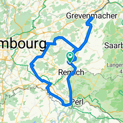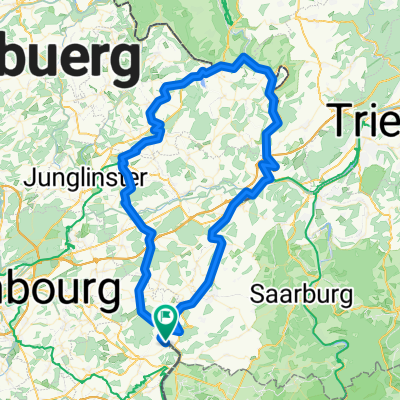
Müllertahl - Wasserbillig
- 89.8 km
- 1,473 m
- 1,474 m
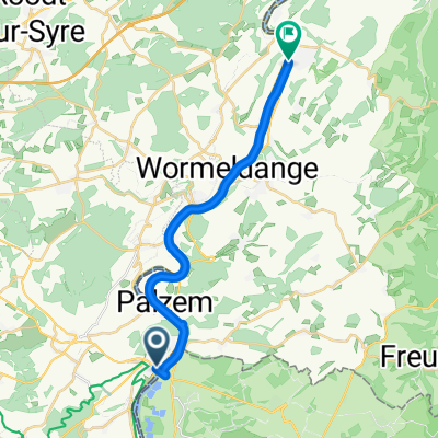
- Palzem, Rhineland-Palatinate, Germany
A cycling route starting in Palzem, Rhineland-Palatinate, Germany.
Overview
created this 5 years ago
Route quality
Track
10.8 km
(74 %)
Road
1.2 km
(8 %)
Paved
13 km
(89 %)
Unpaved
1.5 km
(10 %)
Concrete
8.2 km
(56 %)
Asphalt
4.8 km
(33 %)
Continue with Bikemap
You would like to ride De Route de Mondorf 20, Remich a Rue Janglisbunn 21, Remich or customize it for your own trip? Here is what you can do with this Bikemap route:
Free trial for 3 days, or one-time payment. More about Bikemap Premium.
Discover more Premium features.
Get Bikemap PremiumFrom our community
Open it in the app