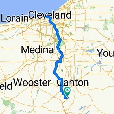
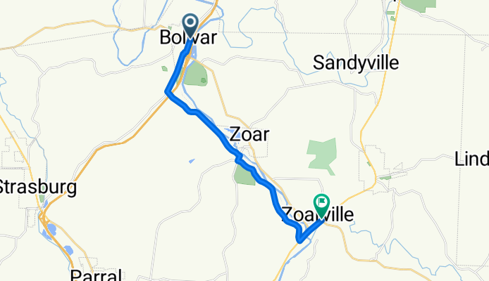
101–199 Canal St NE, Bolivar to 6999 SR-212, Zoarville
A cycling route starting in Strasburg, Ohio, United States of America.
Overview
About this route
- 42 min
- Duration
- 12.4 km
- Distance
- 73 m
- Ascent
- 78 m
- Descent
- 17.9 km/h
- Avg. speed
- ---
- Avg. speed
Route quality
Waytypes & surfaces along the route
Waytypes
Road
9.5 km
(77 %)
Busy road
1.7 km
(13 %)
Surfaces
Paved
5 km
(40 %)
Asphalt
4.9 km
(40 %)
Paved (undefined)
0 km
(<1 %)
Undefined
7.5 km
(60 %)
Continue with Bikemap
Use, edit, or download this cycling route
You would like to ride 101–199 Canal St NE, Bolivar to 6999 SR-212, Zoarville or customize it for your own trip? Here is what you can do with this Bikemap route:
Free features
- Save this route as favorite or in collections
- Copy & plan your own version of this route
- Sync your route with Garmin or Wahoo
Premium features
Free trial for 3 days, or one-time payment. More about Bikemap Premium.
- Navigate this route on iOS & Android
- Export a GPX / KML file of this route
- Create your custom printout (try it for free)
- Download this route for offline navigation
Discover more Premium features.
Get Bikemap PremiumFrom our community
Other popular routes starting in Strasburg
- Slow ride in Dover
- Distance
- 10 km
- Ascent
- 138 m
- Descent
- 138 m
- Location
- Strasburg, Ohio, United States of America
- SR-212, Bolivar to SR-212, Bolivar
- Distance
- 11.2 km
- Ascent
- 19 m
- Descent
- 20 m
- Location
- Strasburg, Ohio, United States of America
- 450 Canal St SE, Bolivar to 450 Canal St SE, Bolivar
- Distance
- 50.2 km
- Ascent
- 570 m
- Descent
- 572 m
- Location
- Strasburg, Ohio, United States of America
- SR-212, Bolivar to 9684 Mill Bridge Square NE, Bolivar
- Distance
- 4 km
- Ascent
- 16 m
- Descent
- 9 m
- Location
- Strasburg, Ohio, United States of America
- Ohio Gap3: Zoar to Conotton
- Distance
- 40.2 km
- Ascent
- 592 m
- Descent
- 581 m
- Location
- Strasburg, Ohio, United States of America
- Zoar Valley Trail to Breitenbach Winery
- Distance
- 26.1 km
- Ascent
- 213 m
- Descent
- 172 m
- Location
- Strasburg, Ohio, United States of America
- 11091 Fort Laurens Rd NW, Bolivar to State Route 800 NE, Zoarville
- Distance
- 9.1 km
- Ascent
- 62 m
- Descent
- 69 m
- Location
- Strasburg, Ohio, United States of America
- 101–199 Canal St NE, Bolivar to 6999 SR-212, Zoarville
- Distance
- 12.4 km
- Ascent
- 73 m
- Descent
- 78 m
- Location
- Strasburg, Ohio, United States of America
Open it in the app