Schwarzwald Umrundung
- 448.6 km
- 2,986 m
- 2,986 m
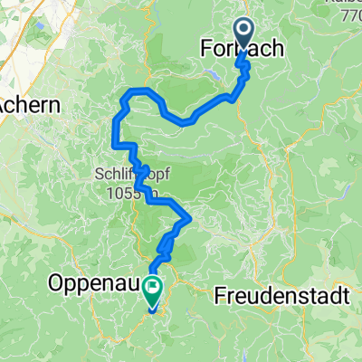
- Forbach, Baden-Wurttemberg, Germany
A cycling route starting in Forbach, Baden-Wurttemberg, Germany.
Overview
The tour starts and ends in front of my house at the small parking lot at Waldstraße 18. However, it can also be started from the Forbach train station.
On the road, you pass Gausbach, the Murgtaltor, the Festhalle, and the sports field. After the barrier, at the fork, take the right path onto Saagenweg. With a view of Forbach, ride along the forest path towards Kuckucksfelsen. Generally flat or with a slight incline, you ride above the Sasbachtal through beautiful coniferous forests until you cross the Sasbach in a right curve. After that, keep left, ride up, passing a small waterfall to a sharp left curve. Then it continues more or less level straight on, passing a bench with a view and the Reif-Jäger hut. After that, turn sharply right and take the left forest path. Here begins the most strenuous part of the route. It goes steeply up to the old wine road. Once you have reached this after the effort, turn left onto the Schwarzwald Höhenradweg and ride to the Prinzenhütte. After a final right turn uphill, you have reached it. After a break, you roll back a short distance on the same route, but go straight down past the Winterhart hut. After a wonderful descent through the forest, you pass by the Gausbach sports field again and return to Forbach.
created this 15 years ago
Route quality
Track
22.7 km
(87 %)
Quiet road
2.3 km
(9 %)
Paved
3.4 km
(13 %)
Unpaved
20.6 km
(79 %)
Gravel
20.3 km
(78 %)
Asphalt
3.1 km
(12 %)
Continue with Bikemap
You would like to ride Forbach - Saagenweg - Prinzenhütte - Winterharthütte - Forbach or customize it for your own trip? Here is what you can do with this Bikemap route:
Free trial for 3 days, or one-time payment. More about Bikemap Premium.
Discover more Premium features.
Get Bikemap PremiumFrom our community
Open it in the app