

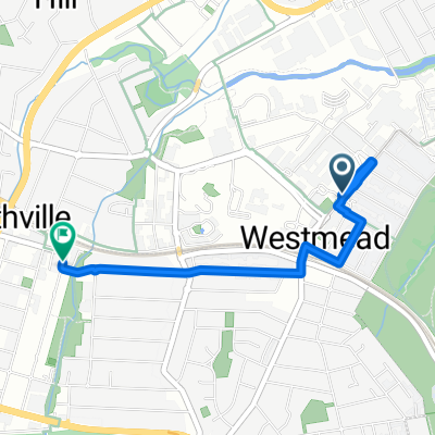
Parramatta > Epping
A cycling route starting in City of Parramatta, New South Wales, Australia.
Overview
About this route
- -:--
- Duration
- 35.2 km
- Distance
- 225 m
- Ascent
- 224 m
- Descent
- ---
- Avg. speed
- ---
- Max. altitude

Route quality
Waytypes & surfaces along the route
Waytypes
Cycleway
15.2 km
(43 %)
Quiet road
10.6 km
(30 %)
Surfaces
Paved
33.1 km
(94 %)
Asphalt
13.7 km
(39 %)
Concrete
9.5 km
(27 %)
Route highlights
Points of interest along the route
Point of interest after 6.6 km
Continue with Bikemap
Use, edit, or download this cycling route
You would like to ride Parramatta > Epping or customize it for your own trip? Here is what you can do with this Bikemap route:
Free features
- Save this route as favorite or in collections
- Copy & plan your own version of this route
- Sync your route with Garmin or Wahoo
Premium features
Free trial for 3 days, or one-time payment. More about Bikemap Premium.
- Navigate this route on iOS & Android
- Export a GPX / KML file of this route
- Create your custom printout (try it for free)
- Download this route for offline navigation
Discover more Premium features.
Get Bikemap PremiumFrom our community
Other popular routes starting in City of Parramatta
 Parramatta to Meadowbank
- Distance
- 12 km
- Ascent
- 95 m
- Descent
- 84 m
- Location
- City of Parramatta, New South Wales, Australia
 Rhodes
- Distance
- 41.7 km
- Ascent
- 175 m
- Descent
- 150 m
- Location
- City of Parramatta, New South Wales, Australia
 Parramatta Park to Olympic Park
- Distance
- 8.6 km
- Ascent
- 63 m
- Descent
- 81 m
- Location
- City of Parramatta, New South Wales, Australia
 Queens Road to Station Street 32-38
- Distance
- 3.1 km
- Ascent
- 35 m
- Descent
- 37 m
- Location
- City of Parramatta, New South Wales, Australia
 Park Ave, Westmead to Parramatta
- Distance
- 30 km
- Ascent
- 234 m
- Descent
- 236 m
- Location
- City of Parramatta, New South Wales, Australia
 13 Trott Street, North Parramatta to 8 Wynne Avenue, Burwood
- Distance
- 17.4 km
- Ascent
- 116 m
- Descent
- 115 m
- Location
- City of Parramatta, New South Wales, Australia
 O'Connell Street 21, Parramatta to Strathfield
- Distance
- 18.6 km
- Ascent
- 271 m
- Descent
- 294 m
- Location
- City of Parramatta, New South Wales, Australia
 Parramatta-Canley Vale-Regents Park-Auburn-Newington-Rhodes Loop
- Distance
- 52 km
- Ascent
- 290 m
- Descent
- 290 m
- Location
- City of Parramatta, New South Wales, Australia
Open it in the app