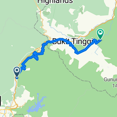
Sempah - Berjaya Hill
- 42.6 km
- 2,551 m
- 2,551 m
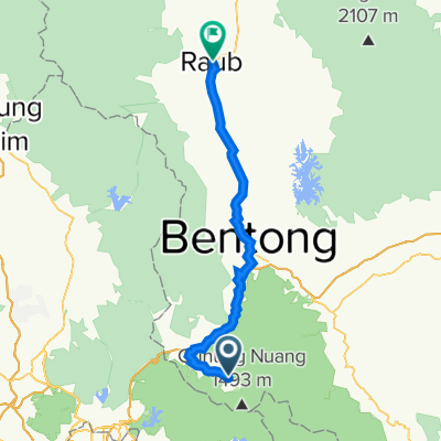
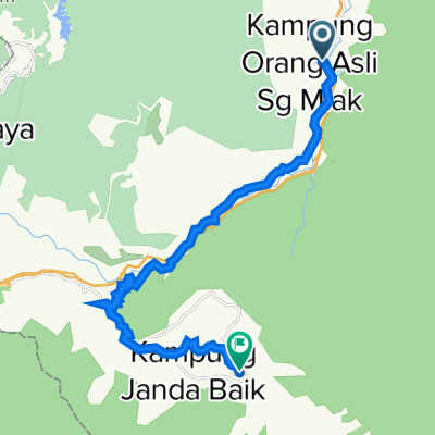
- Kampung Bukit Tinggi, Bentong, Pahang, Malaysia
A cycling route starting in Kampung Bukit Tinggi, Bentong, Pahang, Malaysia.
Overview
created this 5 years ago
Route quality
Quiet road
19.9 km
(86 %)
Access road
2.1 km
(9 %)
Track
1.2 km
(5 %)
Paved
11.6 km
(50 %)
Asphalt
11.6 km
(50 %)
Undefined
11.6 km
(50 %)
Continue with Bikemap
You would like to ride Bukit Tinggie loop or customize it for your own trip? Here is what you can do with this Bikemap route:
Free trial for 3 days, or one-time payment. More about Bikemap Premium.
Discover more Premium features.
Get Bikemap PremiumFrom our community
Open it in the app