

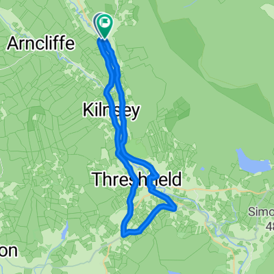
J-55: to England’s highest pub via Buttertubs pass
A cycling route starting in Settle, England, United Kingdom.
Overview
About this route
- 3 h 40 min
- Duration
- 46.2 km
- Distance
- 1,072 m
- Ascent
- 771 m
- Descent
- 12.6 km/h
- Avg. speed
- ---
- Max. altitude
Route photos


Route quality
Waytypes & surfaces along the route
Waytypes
Road
29.5 km
(64 %)
Quiet road
6.5 km
(14 %)
Undefined
10.2 km
(22 %)
Surfaces
Paved
6.5 km
(14 %)
Asphalt
6.5 km
(14 %)
Undefined
39.7 km
(86 %)
Continue with Bikemap
Use, edit, or download this cycling route
You would like to ride J-55: to England’s highest pub via Buttertubs pass or customize it for your own trip? Here is what you can do with this Bikemap route:
Free features
- Save this route as favorite or in collections
- Copy & plan your own version of this route
- Sync your route with Garmin or Wahoo
Premium features
Free trial for 3 days, or one-time payment. More about Bikemap Premium.
- Navigate this route on iOS & Android
- Export a GPX / KML file of this route
- Create your custom printout (try it for free)
- Download this route for offline navigation
Discover more Premium features.
Get Bikemap PremiumFrom our community
Other popular routes starting in Settle
 kettlewell 1.5 quick ride
- Distance
- 30.2 km
- Ascent
- 294 m
- Descent
- 292 m
- Location
- Settle, England, United Kingdom
 New Way of the Rings Day 4 Settle to Ilkley
- Distance
- 59.7 km
- Ascent
- 760 m
- Descent
- 891 m
- Location
- Settle, England, United Kingdom
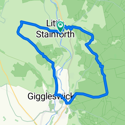 Settle round trip
- Distance
- 15.4 km
- Ascent
- 476 m
- Descent
- 480 m
- Location
- Settle, England, United Kingdom
 Fantasy Tour of Britain - Day 13
- Distance
- 248.1 km
- Ascent
- 2,413 m
- Descent
- 2,260 m
- Location
- Settle, England, United Kingdom
 settle loop from long preston
- Distance
- 28.5 km
- Ascent
- 853 m
- Descent
- 860 m
- Location
- Settle, England, United Kingdom
 Tour de france route
- Distance
- 103.9 km
- Ascent
- 1,328 m
- Descent
- 1,328 m
- Location
- Settle, England, United Kingdom
 Yorkshire Dales - Settle to Malham Tarn loop
- Distance
- 25.6 km
- Ascent
- 531 m
- Descent
- 528 m
- Location
- Settle, England, United Kingdom
 3 Peaks Route
- Distance
- 113.9 km
- Ascent
- 940 m
- Descent
- 940 m
- Location
- Settle, England, United Kingdom
Open it in the app