

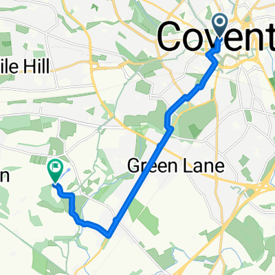
(4) Stage 2: Coventry-Southampton
A cycling route starting in Coventry, England, United Kingdom.
Overview
About this route
- -:--
- Duration
- 202.1 km
- Distance
- 543 m
- Ascent
- 630 m
- Descent
- ---
- Avg. speed
- ---
- Max. altitude
Continue with Bikemap
Use, edit, or download this cycling route
You would like to ride (4) Stage 2: Coventry-Southampton or customize it for your own trip? Here is what you can do with this Bikemap route:
Free features
- Save this route as favorite or in collections
- Copy & plan your own version of this route
- Split it into stages to create a multi-day tour
- Sync your route with Garmin or Wahoo
Premium features
Free trial for 3 days, or one-time payment. More about Bikemap Premium.
- Navigate this route on iOS & Android
- Export a GPX / KML file of this route
- Create your custom printout (try it for free)
- Download this route for offline navigation
Discover more Premium features.
Get Bikemap PremiumFrom our community
Other popular routes starting in Coventry
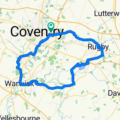
 Route in Coventry
- Distance
- 74.7 km
- Ascent
- 567 m
- Descent
- 564 m
- Location
- Coventry, England, United Kingdom
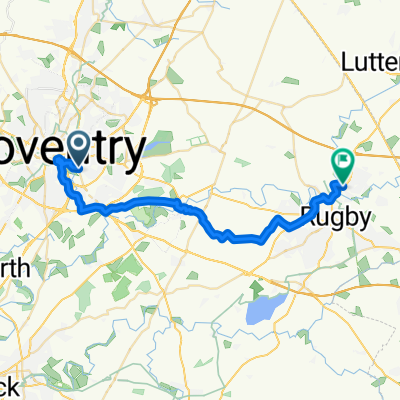
 Cov-Ken-Leam-Rug
- Distance
- 78.6 km
- Ascent
- 201 m
- Descent
- 202 m
- Location
- Coventry, England, United Kingdom
 Route 1
- Distance
- 7.7 km
- Ascent
- 15 m
- Descent
- 18 m
- Location
- Coventry, England, United Kingdom
 Coventry Meriden
- Distance
- 29.4 km
- Ascent
- 158 m
- Descent
- 158 m
- Location
- Coventry, England, United Kingdom
 Coventry - Daventry
- Distance
- 27.1 km
- Ascent
- 128 m
- Descent
- 113 m
- Location
- Coventry, England, United Kingdom
 Town Wall Tavern to Leighfield Road
- Distance
- 8.1 km
- Ascent
- 41 m
- Descent
- 37 m
- Location
- Coventry, England, United Kingdom
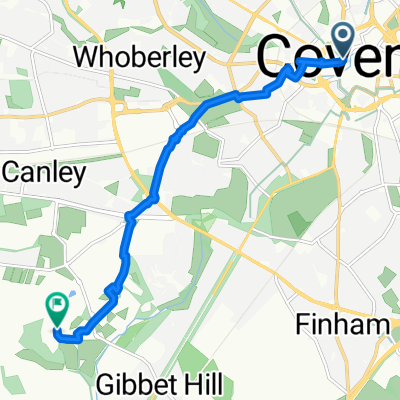
 Dillotford Avenue, Coventry to Mill Road, Rugby
- Distance
- 24.2 km
- Ascent
- 107 m
- Descent
- 96 m
- Location
- Coventry, England, United Kingdom
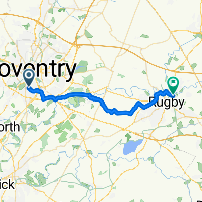
 Town Wall Tavern to Leighfield Road
- Distance
- 8.3 km
- Ascent
- 61 m
- Descent
- 58 m
- Location
- Coventry, England, United Kingdom
Open it in the app