work run
- 11.8 km
- 59 m
- 61 m
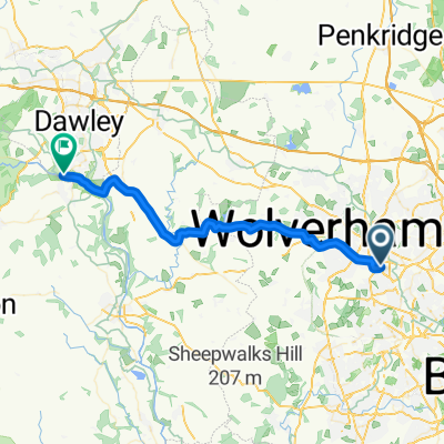
- Wolverhampton, England, United Kingdom
A cycling route starting in Wolverhampton, England, United Kingdom.
Overview
Round trip route going south along canal towpath and north via the Railway Walk
created this 5 years ago


Route quality
Pedestrian area
11.2 km
(51 %)
Cycleway
9.4 km
(43 %)
Paved
3.1 km
(14 %)
Unpaved
17.5 km
(80 %)
Ground
8.8 km
(40 %)
Unpaved (undefined)
5.7 km
(26 %)
Continue with Bikemap
You would like to ride NCR81 and South Staffs Railway Walk Route or customize it for your own trip? Here is what you can do with this Bikemap route:
Free trial for 3 days, or one-time payment. More about Bikemap Premium.
Discover more Premium features.
Get Bikemap PremiumFrom our community
Open it in the app