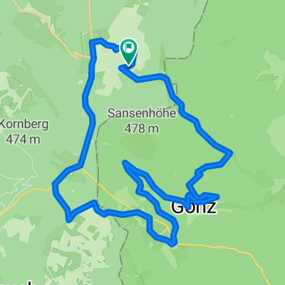
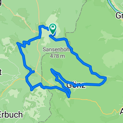
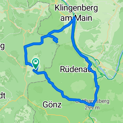
Vielbrunn - Amorbach - Ernsttal - Schlossau - Limesweg - Hesselbach - Würzberg
- 62.6 km
- 1,083 m
- 1,071 m
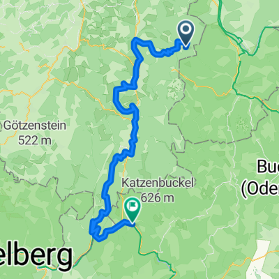
- Rüdenau, Bavaria, Germany
A cycling route starting in Rüdenau, Bavaria, Germany.
Overview
created this 5 years ago
Route quality
Road
22.8 km
(34 %)
Quiet road
19.4 km
(29 %)
Paved
53.6 km
(80 %)
Unpaved
2.7 km
(4 %)
Asphalt
46.9 km
(70 %)
Paved (undefined)
6.7 km
(10 %)
Continue with Bikemap
You would like to ride Vielbrunn - Würzberg - Watterbach - Ernsttal - Mörschenhardter Höhe - Schloßau - Hesselbach or customize it for your own trip? Here is what you can do with this Bikemap route:
Free trial for 3 days, or one-time payment. More about Bikemap Premium.
Discover more Premium features.
Get Bikemap PremiumFrom our community
Open it in the app