

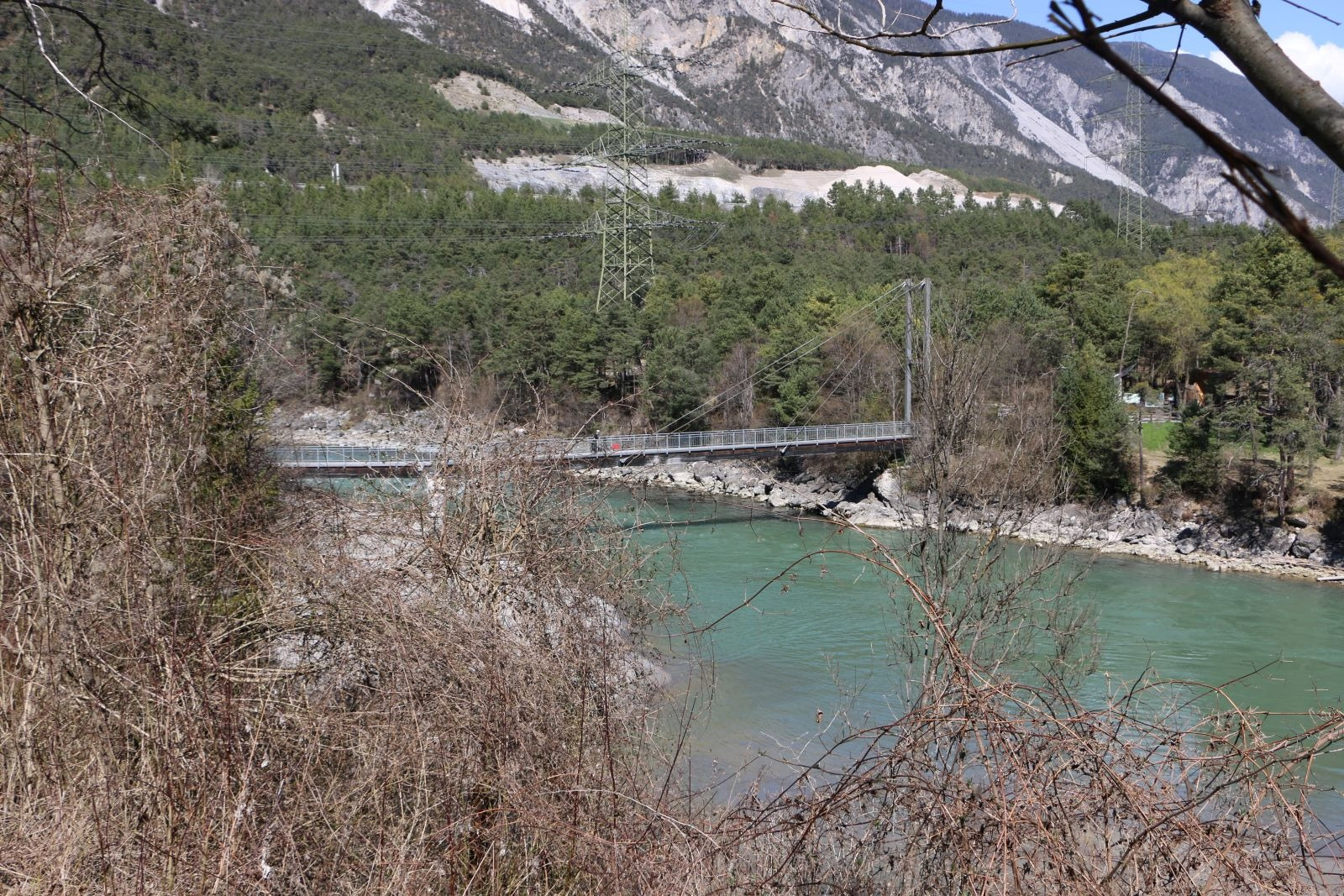
Wald im Pitztal-Mötz-Obsteig-Nassereith-Tarrenz-Imst-Waldele-Wald im Pitztal
A cycling route starting in Roppen, Tyrol, Austria.
Overview
About this route
- 3 h 16 min
- Duration
- 53.9 km
- Distance
- 1,033 m
- Ascent
- 931 m
- Descent
- 16.5 km/h
- Avg. speed
- ---
- Avg. speed

Continue with Bikemap
Use, edit, or download this cycling route
You would like to ride Wald im Pitztal-Mötz-Obsteig-Nassereith-Tarrenz-Imst-Waldele-Wald im Pitztal or customize it for your own trip? Here is what you can do with this Bikemap route:
Free features
- Save this route as favorite or in collections
- Copy & plan your own version of this route
- Sync your route with Garmin or Wahoo
Premium features
Free trial for 3 days, or one-time payment. More about Bikemap Premium.
- Navigate this route on iOS & Android
- Export a GPX / KML file of this route
- Create your custom printout (try it for free)
- Download this route for offline navigation
Discover more Premium features.
Get Bikemap PremiumFrom our community
Other popular routes starting in Roppen
 4 länder runde
- Distance
- 463.5 km
- Ascent
- 5,505 m
- Descent
- 5,656 m
- Location
- Roppen, Tyrol, Austria
 Trankhütte, Roppen nach Rathausstraße 9, Imst
- Distance
- 9.7 km
- Ascent
- 251 m
- Descent
- 198 m
- Location
- Roppen, Tyrol, Austria
 Pillerhöhe
- Distance
- 70 km
- Ascent
- 1,141 m
- Descent
- 1,141 m
- Location
- Roppen, Tyrol, Austria
 Industriegebiet 1106/1 to Straße ohne Straßennamen, Gaschurn
- Distance
- 82.5 km
- Ascent
- 3,498 m
- Descent
- 2,370 m
- Location
- Roppen, Tyrol, Austria
 Wald im Pitztal-Mötz-Obsteig-Nassereith-Tarrenz-Imst-Waldele-Wald im Pitztal
- Distance
- 53.9 km
- Ascent
- 1,033 m
- Descent
- 931 m
- Location
- Roppen, Tyrol, Austria
 Löckpuit 4, Roppen nach Siedlungsstraße 6, Haiming
- Distance
- 8.3 km
- Ascent
- 190 m
- Descent
- 250 m
- Location
- Roppen, Tyrol, Austria
 Roppen-Jesolo
- Distance
- 401.9 km
- Ascent
- 1,649 m
- Descent
- 2,376 m
- Location
- Roppen, Tyrol, Austria
 Innradweg - Vom Ötztal nach Schwaz
- Distance
- 90.7 km
- Ascent
- 344 m
- Descent
- 515 m
- Location
- Roppen, Tyrol, Austria
Open it in the app