wimps rule
- 16.5 km
- 145 m
- 146 m
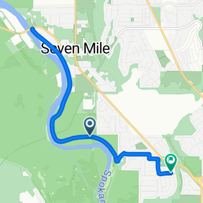
- Town and Country, Washington, United States
A cycling route starting in Town and Country, Washington, United States.
Overview
Hil Training
created this 5 years ago
Route quality
Road
33.6 km
(50 %)
Quiet road
8.7 km
(13 %)
Paved
57.1 km
(85 %)
Unpaved
4 km
(6 %)
Asphalt
57.1 km
(85 %)
Gravel
2 km
(3 %)
Continue with Bikemap
You would like to ride DMSC 7Mile Coulee Hite N. Wood W. Charles W. Dover 4 Mounds Loop or customize it for your own trip? Here is what you can do with this Bikemap route:
Free trial for 3 days, or one-time payment. More about Bikemap Premium.
Discover more Premium features.
Get Bikemap PremiumFrom our community
Open it in the app