

Keilbergmarathon
A cycling route starting in Crottendorf, Saxony, Germany.
Overview
About this route
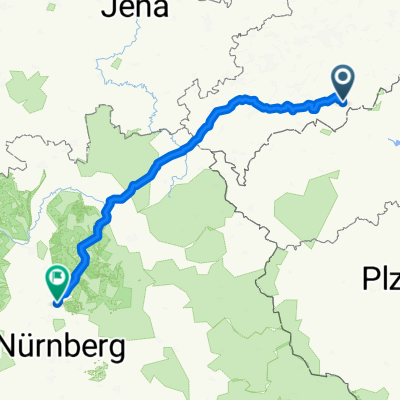
Keilberg is the highest mountain in the Ore Mountains, but first you go all the way down and then all the way up. This way you can enjoy a 20 km long climb with almost 1000 m of elevation gain at Keilberg on asphalt and forest roads. The average gradient is 5%, except for a few ramps at the beginning in Luzný. The start and finish are at the Landhaus Crottendorf. The route mostly follows the local cycling network.
- -:--
- Duration
- 77.3 km
- Distance
- 1,384 m
- Ascent
- 1,384 m
- Descent
- ---
- Avg. speed
- ---
- Max. altitude

Route quality
Waytypes & surfaces along the route
Waytypes
Road
34.8 km
(45 %)
Track
9.3 km
(12 %)
Surfaces
Paved
56.4 km
(73 %)
Unpaved
5.4 km
(7 %)
Asphalt
53.3 km
(69 %)
Gravel
3.1 km
(4 %)
Continue with Bikemap
Use, edit, or download this cycling route
You would like to ride Keilbergmarathon or customize it for your own trip? Here is what you can do with this Bikemap route:
Free features
- Save this route as favorite or in collections
- Copy & plan your own version of this route
- Sync your route with Garmin or Wahoo
Premium features
Free trial for 3 days, or one-time payment. More about Bikemap Premium.
- Navigate this route on iOS & Android
- Export a GPX / KML file of this route
- Create your custom printout (try it for free)
- Download this route for offline navigation
Discover more Premium features.
Get Bikemap PremiumFrom our community
Other popular routes starting in Crottendorf
 Rote Grube
- Distance
- 50.6 km
- Ascent
- 924 m
- Descent
- 920 m
- Location
- Crottendorf, Saxony, Germany
 Neuendorf-Fichtelberg-Bärenstein-Neuendorf
- Distance
- 47.8 km
- Ascent
- 1,062 m
- Descent
- 1,062 m
- Location
- Crottendorf, Saxony, Germany
 Kleine Grenzrunde, Neudorf-Kovarska-Haj-Oberwiesenthal-Neudorf
- Distance
- 36.6 km
- Ascent
- 590 m
- Descent
- 590 m
- Location
- Crottendorf, Saxony, Germany
 ANA => EH
- Distance
- 227.3 km
- Ascent
- 1,476 m
- Descent
- 1,797 m
- Location
- Crottendorf, Saxony, Germany
 Berg- und Talfahrt
- Distance
- 32.4 km
- Ascent
- 666 m
- Descent
- 666 m
- Location
- Crottendorf, Saxony, Germany
 Fichtelberg - Rundfahrt
- Distance
- 37.1 km
- Ascent
- 722 m
- Descent
- 728 m
- Location
- Crottendorf, Saxony, Germany
 Cranzahl-Zschopautal-Chemnitz
- Distance
- 69.9 km
- Ascent
- 365 m
- Descent
- 656 m
- Location
- Crottendorf, Saxony, Germany
 Kleine Grenzrunde 2, Neudorf - Kovarska - Bärenstein - Neudorf
- Distance
- 33.6 km
- Ascent
- 442 m
- Descent
- 440 m
- Location
- Crottendorf, Saxony, Germany
Open it in the app