

Guffert-Umrundung 108039
A cycling route starting in Achenkirch, Tyrol, Austria.
Overview
About this route
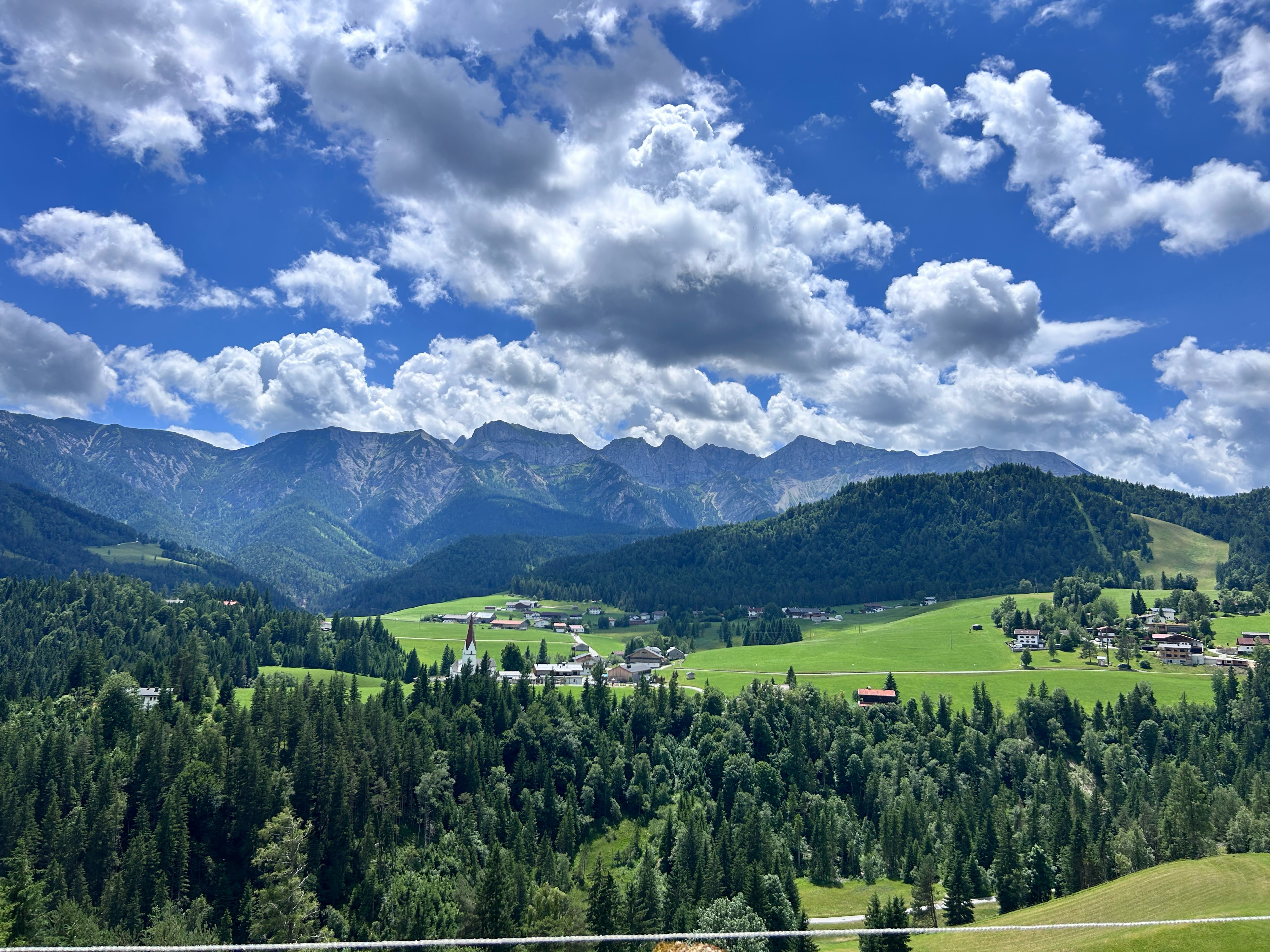
Von Köglboden nahe Achenkirch am Achensee führt uns diese MTB - Tour durch das Filzmoostal zur Gufferthütte und entlang der Brandenberger Ache nach Pinegg. Von dort gelangen wir über eine lange Bergfahrt nach Steinberg am Rofan. Zurück über die Wasserscheide von Isar und Inn schließen wir unsere Rundfahrt um den Guffert gebührend ab.
- -:--
- Duration
- 39.9 km
- Distance
- 1,357 m
- Ascent
- 1,356 m
- Descent
- ---
- Avg. speed
- ---
- Max. altitude
Route quality
Waytypes & surfaces along the route
Waytypes
Track
23 km
(58 %)
Quiet road
12.6 km
(32 %)
Surfaces
Paved
5.7 km
(14 %)
Unpaved
27.3 km
(68 %)
Gravel
18.1 km
(45 %)
Asphalt
5.6 km
(14 %)
Continue with Bikemap
Use, edit, or download this cycling route
You would like to ride Guffert-Umrundung 108039 or customize it for your own trip? Here is what you can do with this Bikemap route:
Free features
- Save this route as favorite or in collections
- Copy & plan your own version of this route
- Sync your route with Garmin or Wahoo
Premium features
Free trial for 3 days, or one-time payment. More about Bikemap Premium.
- Navigate this route on iOS & Android
- Export a GPX / KML file of this route
- Create your custom printout (try it for free)
- Download this route for offline navigation
Discover more Premium features.
Get Bikemap PremiumFrom our community
Other popular routes starting in Achenkirch
 Walchensee
- Distance
- 47.3 km
- Ascent
- 611 m
- Descent
- 689 m
- Location
- Achenkirch, Tyrol, Austria
 Seewaldhütte
- Distance
- 10.9 km
- Ascent
- 507 m
- Descent
- 505 m
- Location
- Achenkirch, Tyrol, Austria
 Achenseestraße, Achenkirch nach Achenseestraße, Achenkirch
- Distance
- 49.2 km
- Ascent
- 1,323 m
- Descent
- 1,320 m
- Location
- Achenkirch, Tyrol, Austria
 große Steinbergrunde
- Distance
- 22.9 km
- Ascent
- 606 m
- Descent
- 558 m
- Location
- Achenkirch, Tyrol, Austria
 Achensee Radmarathon
- Distance
- 171.3 km
- Ascent
- 1,100 m
- Descent
- 1,107 m
- Location
- Achenkirch, Tyrol, Austria
 Sylvenstein - Juifen
- Distance
- 45.2 km
- Ascent
- 1,265 m
- Descent
- 1,274 m
- Location
- Achenkirch, Tyrol, Austria
 Achensee und Naturschutzgebiet Karwendel
- Distance
- 19.1 km
- Ascent
- 418 m
- Descent
- 260 m
- Location
- Achenkirch, Tyrol, Austria
 Route 454 zu Falkenhütte, Rückweg über Ladierertal
- Distance
- 28.8 km
- Ascent
- 965 m
- Descent
- 965 m
- Location
- Achenkirch, Tyrol, Austria
Open it in the app