

Grand tour Chartreuse depuis Grenoble
A cycling route starting in Saint-Martin-d'Hères, Auvergne-Rhône-Alpes, France.
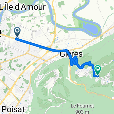
Overview
About this route
Col de Porte by St-Laurent-du-Pont
Col de la Placette: 5.40 km at an average of 6.4 %
- -:--
- Duration
- 71.8 km
- Distance
- 1,318 m
- Ascent
- 1,318 m
- Descent
- ---
- Avg. speed
- ---
- Max. altitude

Route photos

Route quality
Waytypes & surfaces along the route
Waytypes
Cycleway
15.8 km
(22 %)
Quiet road
4.3 km
(6 %)
Surfaces
Paved
61.7 km
(86 %)
Asphalt
61 km
(85 %)
Paved (undefined)
0.7 km
(1 %)
Undefined
10 km
(14 %)
Continue with Bikemap
Use, edit, or download this cycling route
You would like to ride Grand tour Chartreuse depuis Grenoble or customize it for your own trip? Here is what you can do with this Bikemap route:
Free features
- Save this route as favorite or in collections
- Copy & plan your own version of this route
- Sync your route with Garmin or Wahoo
Premium features
Free trial for 3 days, or one-time payment. More about Bikemap Premium.
- Navigate this route on iOS & Android
- Export a GPX / KML file of this route
- Create your custom printout (try it for free)
- Download this route for offline navigation
Discover more Premium features.
Get Bikemap PremiumFrom our community
Other popular routes starting in Saint-Martin-d'Hères
 Tour de la Chartreuse - par Saint-Egrève
- Distance
- 33.4 km
- Ascent
- 678 m
- Descent
- 677 m
- Location
- Saint-Martin-d'Hères, Auvergne-Rhône-Alpes, France
 Grenoble - Val Pelouse
- Distance
- 155.4 km
- Ascent
- 5,934 m
- Descent
- 4,465 m
- Location
- Saint-Martin-d'Hères, Auvergne-Rhône-Alpes, France
 Tour Belledonne par Villard-Bonnot
- Distance
- 52.1 km
- Ascent
- 880 m
- Descent
- 878 m
- Location
- Saint-Martin-d'Hères, Auvergne-Rhône-Alpes, France
 Challange of St. Eynard
- Distance
- 33.3 km
- Ascent
- 1,185 m
- Descent
- 1,186 m
- Location
- Saint-Martin-d'Hères, Auvergne-Rhône-Alpes, France
 venon
venon- Distance
- 5.8 km
- Ascent
- 374 m
- Descent
- 50 m
- Location
- Saint-Martin-d'Hères, Auvergne-Rhône-Alpes, France
 Wanna be at the white house on the top ;)
- Distance
- 27.2 km
- Ascent
- 2,013 m
- Descent
- 22 m
- Location
- Saint-Martin-d'Hères, Auvergne-Rhône-Alpes, France
 Clémencière + Palaquit
- Distance
- 36.8 km
- Ascent
- 1,045 m
- Descent
- 1,045 m
- Location
- Saint-Martin-d'Hères, Auvergne-Rhône-Alpes, France
 Grand tour Chartreuse depuis Grenoble
- Distance
- 71.8 km
- Ascent
- 1,318 m
- Descent
- 1,318 m
- Location
- Saint-Martin-d'Hères, Auvergne-Rhône-Alpes, France
Open it in the app