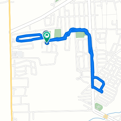
Tepatitlán - Cap. de Guadalupe - Los Dolores - Tepatitlán

A cycling route starting in Tepatitlán de Morelos, Jalisco, Mexico.
OverviewAbout this route

Tepatitlán - Capilla de Guadalupe - Los Dolores - Tepatitlán

Translated, show original (Spanish)
-:--
Duration
63.6 km
Distance
386 m
Ascent
387 m
Descent
---
Avg. speed
---
Max. altitude
Oscar AMcreated this 15 years ago
Continue with BikemapUse, edit, or download this cycling route
You would like to ride Tepatitlán - Cap. de Guadalupe - Los Dolores - Tepatitlán or customize it for your own trip? Here is what you can do with this Bikemap route:
Free features
Premium features

Free trial for 3 days, or one-time payment. More about Bikemap Premium.

  • Navigate this route on iOS & Android
  • Export a GPX / KML file of this route
  • Create your custom printout (try it for free)
  • Download this route for offline navigation

Discover more Premium features.

Get Bikemap Premium
From our communityOther popular routes starting in Tepatitlán de Morelos

Open it in the app