3Berge Tour010421
- 43.6 km
- 747 m
- 740 m
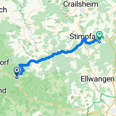
- Gerabronn, Baden-Wurttemberg, Germany
A cycling route starting in Gerabronn, Baden-Wurttemberg, Germany.
Overview
Idyllic, medium-length MTB loop with sufficient elevation gain. It leads over Büchelberger Grat and Frickenhofer Höhe. Shorter section in Kochertal from Reichertshofen-Algishofen along B19! Otherwise, everything is stress-free.
created this 15 years ago
Continue with Bikemap
You would like to ride Schnelle MTB Herbst Runde or customize it for your own trip? Here is what you can do with this Bikemap route:
Free trial for 3 days, or one-time payment. More about Bikemap Premium.
Discover more Premium features.
Get Bikemap PremiumFrom our community
Open it in the app