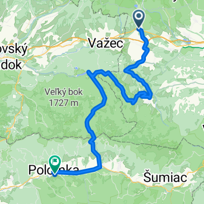
Wokół Tatr Day 3
- 69.6 km
- 756 m
- 792 m
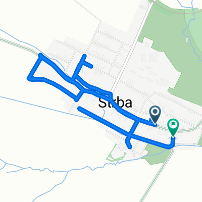
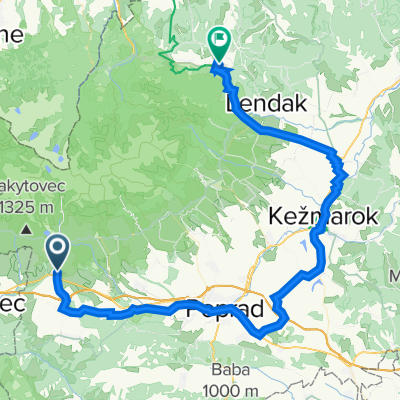
- Strba, Prešov Region, Slovakia
A cycling route starting in Strba, Prešov Region, Slovakia.
Overview
10.9 - 14.9.2020
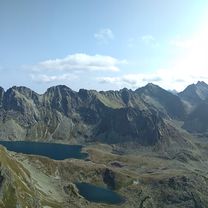
Tatranská Štrba - Štrba - Hranovica - Dobšinská ľadová jaskyňa - Telgart - Muránska planina - Muřáň - Tisovec - Hnúšťa - Poltár - Ozdín - Cinobaňa - Lovinobaňa - Divín - Ábelová - Stará Huta - Senohrad - Sucháň - Slovenské Ďarmoty - Šahy - Štúrovo
created this 5 years ago
Route quality
Road
164.5 km
(49 %)
Quiet road
16.8 km
(5 %)
Paved
171.3 km
(51 %)
Asphalt
167.9 km
(50 %)
Paved (undefined)
3.4 km
(1 %)
Undefined
164.5 km
(49 %)
Route highlights
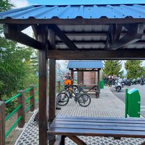
Večerní pivo
1. nocleh
Kofola + pivo + káva
Pivo + oběd
Pivo + káva
Pivo + kapustnica
pivo + borovička + maso
2. nocleh
Zákaz vjezdu cyklistů - cyklo jednosmsěrka, provoz m ožný pouze z Muráně na Muráňskou planinu.
Muráňské buchty
kofola + pivo + káva
pivo + oběd
vinea
pivo
pomoc s opravou kola - zapůjčení kleští
pivo + guláš
pivo + borovička + kofola
3. nocleh
káva
radler na benzině
Kofola + pivo + jídlo z vlastních zásob
Pivo + káva + špatné halušky
4. nocleh
Pivo + borovička + kofola
Pivo + vynikající halušky
Vinea + káva
Radler
Pivo
Pivo
Pivo + večeře
Continue with Bikemap
You would like to ride 2020 - Přejezd slovenských hor or customize it for your own trip? Here is what you can do with this Bikemap route:
Free trial for 3 days, or one-time payment. More about Bikemap Premium.
Discover more Premium features.
Get Bikemap PremiumFrom our community
Open it in the app