

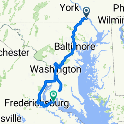
475 Watson Rd, Delta to 926 Broad St Ext, Delta
A cycling route starting in Susquehanna Trails, Pennsylvania, United States.
Overview
About this route
- 1 h 34 min
- Duration
- 30.1 km
- Distance
- 397 m
- Ascent
- 409 m
- Descent
- 19.2 km/h
- Avg. speed
- ---
- Max. altitude
Route quality
Waytypes & surfaces along the route
Waytypes
Quiet road
10.8 km
(36 %)
Road
6.3 km
(21 %)
Surfaces
Paved
17.7 km
(59 %)
Asphalt
16.8 km
(56 %)
Paved (undefined)
0.9 km
(3 %)
Undefined
12.3 km
(41 %)
Continue with Bikemap
Use, edit, or download this cycling route
You would like to ride 475 Watson Rd, Delta to 926 Broad St Ext, Delta or customize it for your own trip? Here is what you can do with this Bikemap route:
Free features
- Save this route as favorite or in collections
- Copy & plan your own version of this route
- Sync your route with Garmin or Wahoo
Premium features
Free trial for 3 days, or one-time payment. More about Bikemap Premium.
- Navigate this route on iOS & Android
- Export a GPX / KML file of this route
- Create your custom printout (try it for free)
- Download this route for offline navigation
Discover more Premium features.
Get Bikemap PremiumFrom our community
Other popular routes starting in Susquehanna Trails
 4721 Clermont Mill Rd, Pylesville to 4721 Clermont Mill Rd, Pylesville
- Distance
- 62.5 km
- Ascent
- 677 m
- Descent
- 683 m
- Location
- Susquehanna Trails, Pennsylvania, United States
 475 Watson Rd, Delta to 926 Broad St Ext, Delta
- Distance
- 30.1 km
- Ascent
- 397 m
- Descent
- 409 m
- Location
- Susquehanna Trails, Pennsylvania, United States
 Susquehanna Trails - Baltimore + Baltimore - Silver Spring (1/2) + Baltimore - Silver Spring (2/2)
- Distance
- 445.7 km
- Ascent
- 4,508 m
- Descent
- 4,646 m
- Location
- Susquehanna Trails, Pennsylvania, United States
 566 Slateville Rd, Delta to 566 Slateville Rd, Delta
- Distance
- 31.7 km
- Ascent
- 311 m
- Descent
- 312 m
- Location
- Susquehanna Trails, Pennsylvania, United States
 Home, Ridge, Herr, Eley’s, Roundabout, 165, Chestnut, slateville to home
- Distance
- 33 km
- Ascent
- 334 m
- Descent
- 332 m
- Location
- Susquehanna Trails, Pennsylvania, United States
 Recovered Route
- Distance
- 47.7 km
- Ascent
- 328 m
- Descent
- 488 m
- Location
- Susquehanna Trails, Pennsylvania, United States
 Whiteford Hickrun Route
- Distance
- 34 km
- Ascent
- 355 m
- Descent
- 355 m
- Location
- Susquehanna Trails, Pennsylvania, United States
 my house to Deidra’s & back
- Distance
- 32.3 km
- Ascent
- 334 m
- Descent
- 331 m
- Location
- Susquehanna Trails, Pennsylvania, United States
Open it in the app