2012 French Tour -- Ride Day 36 -- 23 September 2012 -- Chambéry to Seyssins (Grenoble)
- 75.6 km
- 1,821 m
- 1,846 m
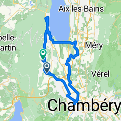
- La Motte-Servolex, Auvergne-Rhône-Alpes, France
A cycling route starting in La Motte-Servolex, Auvergne-Rhône-Alpes, France.
Overview
created this 5 years ago
Route quality
Path
4.1 km
(4 %)
Quiet road
2.1 km
(2 %)
Paved
96.7 km
(94 %)
Asphalt
95.7 km
(93 %)
Concrete
1 km
(1 %)
Undefined
6.2 km
(6 %)
Route highlights
Seguir track
Creuar dreta , passar riu
Dreta per passarela, creuar riu
Creuar pas
Col du Granier
Col du Cucheron
Col de Palaquit
Continue with Bikemap
You would like to ride 7-GRENOBLE or customize it for your own trip? Here is what you can do with this Bikemap route:
Free trial for 3 days, or one-time payment. More about Bikemap Premium.
Discover more Premium features.
Get Bikemap PremiumFrom our community
Open it in the app