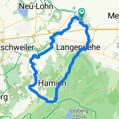
Indelandrunde
A cycling route starting in Inden, North Rhine-Westphalia, Germany.
Overview
About this route
- 1 h 54 min
- Duration
- 44.2 km
- Distance
- 119 m
- Ascent
- 117 m
- Descent
- 23.3 km/h
- Avg. speed
- ---
- Max. altitude
Route quality
Waytypes & surfaces along the route
Waytypes
Path
10.6 km
(24 %)
Quiet road
9.5 km
(21 %)
Surfaces
Paved
25.9 km
(59 %)
Asphalt
17.4 km
(39 %)
Paved (undefined)
8.4 km
(19 %)
Continue with Bikemap
Use, edit, or download this cycling route
You would like to ride Indelandrunde or customize it for your own trip? Here is what you can do with this Bikemap route:
Free features
- Save this route as favorite or in collections
- Copy & plan your own version of this route
- Sync your route with Garmin or Wahoo
Premium features
Free trial for 3 days, or one-time payment. More about Bikemap Premium.
- Navigate this route on iOS & Android
- Export a GPX / KML file of this route
- Create your custom printout (try it for free)
- Download this route for offline navigation
Discover more Premium features.
Get Bikemap PremiumFrom our community
Other popular routes starting in Inden
- Der Wehe nach bis zur Quelle.
- Distance
- 30.8 km
- Ascent
- 557 m
- Descent
- 182 m
- Location
- Inden, North Rhine-Westphalia, Germany
- Der Wehe entlang, hinauf zur Kall, bis zur Rur und wieder zurĂĽck.
- Distance
- 72 km
- Ascent
- 533 m
- Descent
- 507 m
- Location
- Inden, North Rhine-Westphalia, Germany
- Laufenburg-Tour
- Distance
- 31 km
- Ascent
- 299 m
- Descent
- 301 m
- Location
- Inden, North Rhine-Westphalia, Germany
- Schöntal und der Wald um Laufenburg
- Distance
- 29.2 km
- Ascent
- 320 m
- Descent
- 323 m
- Location
- Inden, North Rhine-Westphalia, Germany
- Indelandrunde
- Distance
- 44.2 km
- Ascent
- 119 m
- Descent
- 117 m
- Location
- Inden, North Rhine-Westphalia, Germany
- indeland Radroute 1: Tagebaueinblicke
- Distance
- 27.6 km
- Ascent
- 238 m
- Descent
- 238 m
- Location
- Inden, North Rhine-Westphalia, Germany
- Rund um den Tagebau Inden
- Distance
- 28.4 km
- Ascent
- 200 m
- Descent
- 200 m
- Location
- Inden, North Rhine-Westphalia, Germany
- Eifel ab Merken
- Distance
- 71.6 km
- Ascent
- 629 m
- Descent
- 629 m
- Location
- Inden, North Rhine-Westphalia, Germany
Open it in the app