4-Seen-Runde
- 33.8 km
- 71 m
- 71 m
- Braunschweig, Lower Saxony, Germany
A cycling route starting in Braunschweig, Lower Saxony, Germany.
Overview
Before the Eilumer Horn, about 170 meters of elevation need to be overcome. My conclusion: a bike can also be pushed quite well!
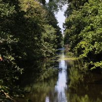
The return route goes above the Reitling Valley and offers magnificent views.
created this 5 years ago


Route quality
Track
16.4 km
(33 %)
Path
11.9 km
(24 %)
Paved
30.7 km
(62 %)
Unpaved
16.9 km
(34 %)
Asphalt
29.3 km
(59 %)
Gravel
8.9 km
(18 %)
Continue with Bikemap
You would like to ride Eilumer Horn or customize it for your own trip? Here is what you can do with this Bikemap route:
Free trial for 3 days, or one-time payment. More about Bikemap Premium.
Discover more Premium features.
Get Bikemap PremiumFrom our community
Open it in the app