to work
- 31.4 km
- 29 m
- 17 m
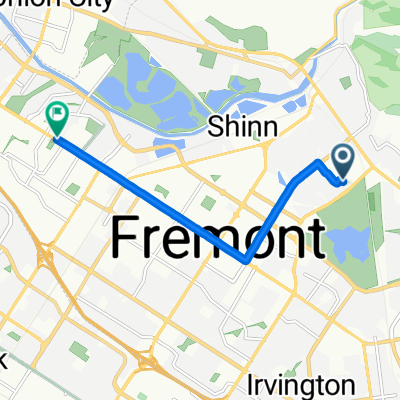
- Fremont, California, United States
A cycling route starting in Fremont, California, United States.
Overview
created this 5 years ago
Route quality
Road
23.3 km
(28 %)
Cycleway
15 km
(18 %)
Paved
46.6 km
(56 %)
Asphalt
35 km
(42 %)
Paved (undefined)
8.3 km
(10 %)
Continue with Bikemap
You would like to ride east_valley or customize it for your own trip? Here is what you can do with this Bikemap route:
Free trial for 3 days, or one-time payment. More about Bikemap Premium.
Discover more Premium features.
Get Bikemap PremiumFrom our community
Open it in the app