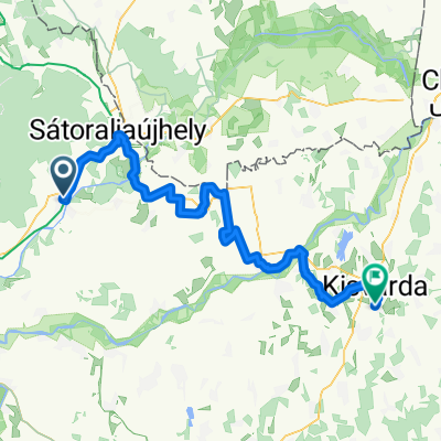
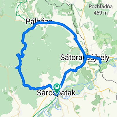
Sp-Kol贸ska-脷jhuta-Hotyka-Sp
A cycling route starting in S谩rospatak, Borsod-Abauj Zemplen county, Hungary.
Overview
About this route
- -:--
- Duration
- 43.1 km
- Distance
- 663 m
- Ascent
- 663 m
- Descent
- ---
- Avg. speed
- ---
- Max. altitude
Route quality
Waytypes & surfaces along the route
Waytypes
Track
34.9 km
(81 %)
Quiet road
7.3 km
(17 %)
Surfaces
Paved
6.5 km
(15 %)
Unpaved
23.3 km
(54 %)
Gravel
11.6 km
(27 %)
Ground
7.8 km
(18 %)
Continue with Bikemap
Use, edit, or download this cycling route
You would like to ride Sp-Kol贸ska-脷jhuta-Hotyka-Sp or customize it for your own trip? Here is what you can do with this Bikemap route:
Free features
- Save this route as favorite or in collections
- Copy & plan your own version of this route
- Sync your route with Garmin or Wahoo
Premium features
Free trial for 3 days, or one-time payment. More about Bikemap Premium.
- Navigate this route on iOS & Android
- Export a GPX / KML file of this route
- Create your custom printout (try it for free)
- Download this route for offline navigation
Discover more Premium features.
Get Bikemap PremiumFrom our community
Other popular routes starting in S谩rospatak
STEREO 10.4 Gerend谩s-r茅t - P谩lh谩za- Distance
- 11.5 km
- Ascent
- 26 m
- Descent
- 304 m
- Location
- S谩rospatak, Borsod-Abauj Zemplen county, Hungary
Szabolcs - 煤jabb 12 telep眉l茅s - 190601- Distance
- 242.3 km
- Ascent
- 75 m
- Descent
- 78 m
- Location
- S谩rospatak, Borsod-Abauj Zemplen county, Hungary
V谩rt贸l v谩rig t煤ra.- Distance
- 94.1 km
- Ascent
- 472 m
- Descent
- 476 m
- Location
- S谩rospatak, Borsod-Abauj Zemplen county, Hungary
makkos- Distance
- 52.7 km
- Ascent
- 1,452 m
- Descent
- 1,456 m
- Location
- S谩rospatak, Borsod-Abauj Zemplen county, Hungary
Zempl茅n 2015 谩pr- Distance
- 128.5 km
- Ascent
- 982 m
- Descent
- 975 m
- Location
- S谩rospatak, Borsod-Abauj Zemplen county, Hungary
Kerek k艖 1.- Distance
- 2.3 km
- Ascent
- 150 m
- Descent
- 21 m
- Location
- S谩rospatak, Borsod-Abauj Zemplen county, Hungary
Bringahorda 2017- Distance
- 139.6 km
- Ascent
- 1,176 m
- Descent
- 1,176 m
- Location
- S谩rospatak, Borsod-Abauj Zemplen county, Hungary
p眉nk枚sd t煤ra 2015- Distance
- 126.5 km
- Ascent
- 639 m
- Descent
- 642 m
- Location
- S谩rospatak, Borsod-Abauj Zemplen county, Hungary
Open it in the app


