

Harmannsdorf - Neusiedl am See
A cycling route starting in Harmannsdorf, Lower Austria, Austria.
Overview
About this route
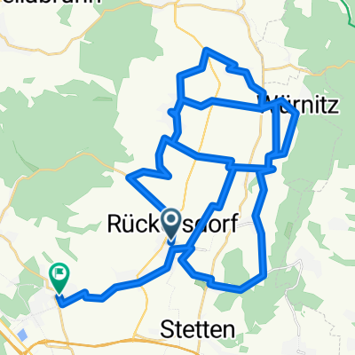
from Harmannsdorf via the Danube Island, the Danube Cycle Path, and the Parndorf Plain to Neuseidl am See.<br />Very low traffic connection (not suitable for road bikes)
- -:--
- Duration
- 98.6 km
- Distance
- 320 m
- Ascent
- 363 m
- Descent
- ---
- Avg. speed
- 191 m
- Max. altitude

Route quality
Waytypes & surfaces along the route
Waytypes
Cycleway
39.4 km
(40 %)
Track
24.7 km
(25 %)
Surfaces
Paved
81.9 km
(83 %)
Unpaved
14.8 km
(15 %)
Asphalt
80.9 km
(82 %)
Gravel
7.9 km
(8 %)
Continue with Bikemap
Use, edit, or download this cycling route
You would like to ride Harmannsdorf - Neusiedl am See or customize it for your own trip? Here is what you can do with this Bikemap route:
Free features
- Save this route as favorite or in collections
- Copy & plan your own version of this route
- Split it into stages to create a multi-day tour
- Sync your route with Garmin or Wahoo
Premium features
Free trial for 3 days, or one-time payment. More about Bikemap Premium.
- Navigate this route on iOS & Android
- Export a GPX / KML file of this route
- Create your custom printout (try it for free)
- Download this route for offline navigation
Discover more Premium features.
Get Bikemap PremiumFrom our community
Other popular routes starting in Harmannsdorf
 Mühlgasse Reichsbrücke
- Distance
- 24.9 km
- Ascent
- 65 m
- Descent
- 77 m
- Location
- Harmannsdorf, Lower Austria, Austria
 Feldgasse 9, Harmannsdorf nach Nikolaus Heid-Straße 14, Stockerau
- Distance
- 17.3 km
- Ascent
- 27 m
- Descent
- 71 m
- Location
- Harmannsdorf, Lower Austria, Austria
 1 Std. Tour, vorbei an der Burg Kreuzenstein
- Distance
- 17.1 km
- Ascent
- 196 m
- Descent
- 196 m
- Location
- Harmannsdorf, Lower Austria, Austria
 Harmannsdorf - Neusiedl am See
- Distance
- 98.6 km
- Ascent
- 320 m
- Descent
- 363 m
- Location
- Harmannsdorf, Lower Austria, Austria
 16CZ13
- Distance
- 99.8 km
- Ascent
- 121 m
- Descent
- 161 m
- Location
- Harmannsdorf, Lower Austria, Austria
 Route nach Leobendorf
- Distance
- 47.1 km
- Ascent
- 452 m
- Descent
- 450 m
- Location
- Harmannsdorf, Lower Austria, Austria
 Hauptstraße 4 nach Hauptstraße 7
- Distance
- 15.1 km
- Ascent
- 226 m
- Descent
- 237 m
- Location
- Harmannsdorf, Lower Austria, Austria
 Goldenes Bründl-Burg Kreuzenstein
- Distance
- 29.5 km
- Ascent
- 390 m
- Descent
- 390 m
- Location
- Harmannsdorf, Lower Austria, Austria
Open it in the app